 ETH Hönggerberg from the south (Hannes Röst photo)
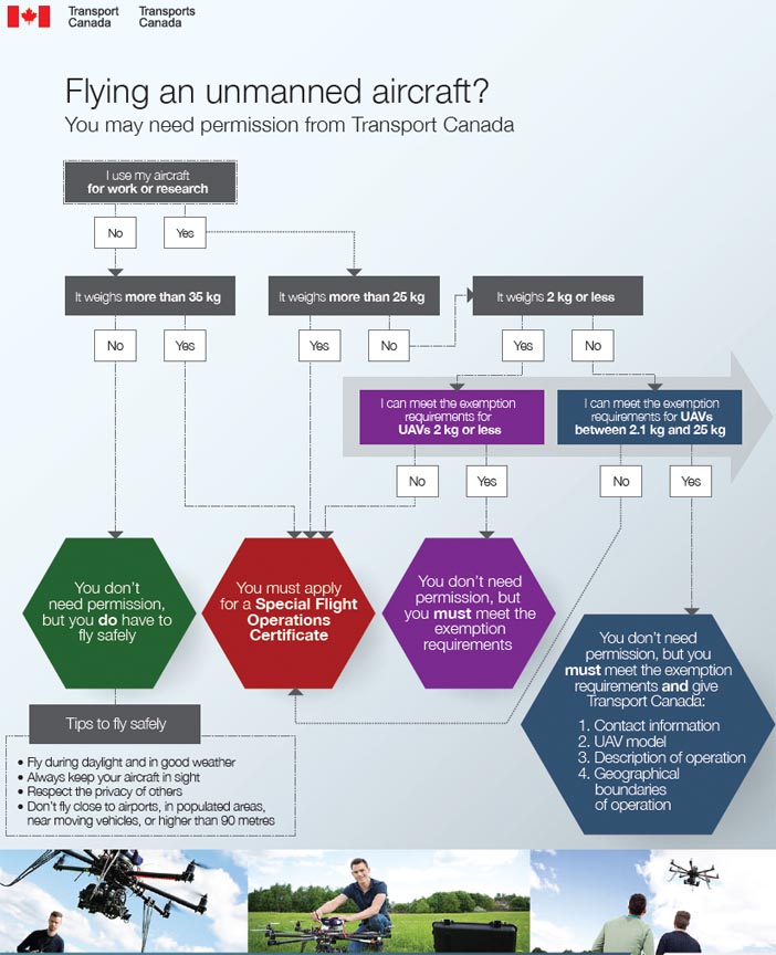
The Swiss Federal Institute of Technology (ETH) sponsors this conference and exhibition on UAVs and geomatics at Campus Science City (Hoenggerberg) in Zurich, Switzerland from September 14 through 16, 2011.
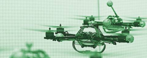
UAV-g 2011 will bring together experts in photogrammetry, surveying, robotics, computer vision, artificial intelligence and aerospace engineering.
Researchers, developers, service and systems providers and users are invited to exhibit and demonstrate their UAV systems in geomatics at at the Birrfeld airfield on Thursday, September 15.
The final program is online
Session topics include UAV Platforms, Regulations, Sensor Integration, Sensor Orientation, Flight Planning, Flight Performance, Mapping and GIS Based Systems, Innovative Systems, Real-time Systems, Cadastral Applications / Potential of UAVs in national mapping, Thermal Sensors Applications, UAV Applications and Open Source Project.
Three divisions of the Department of Civil, Environmental and Geomatics Engineering (DBAUG) is organizing the conference. They are the UAV Research Group, Metrology and Engineering Geodesy (geomETH) and the Institute of Geodesy and Photgrammetry (IGP).
E-mail contacts for various questions about the conference, its organizers and the scientific committee are available here.


