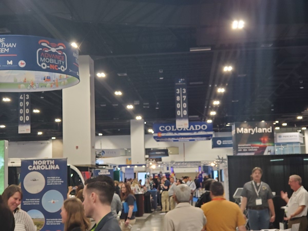
To operate safely and precisely, drones need reliable position, navigation and timing solutions—and there were plenty on display at AUVSI’s XPONENTIAL in Denver this year. Educational tracks also highlighted the importance of protecting PNT from threats like spoofing and jamming.
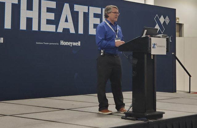
Franck Boynton, vice president of NavtechGPS, gave a presentation in the Solutions Theater that outlined the GPS interference threat and how to overcome it.
Most of the time spoofing, Boynton said, is unintentional, but of course there are bad actors who are looking to do damage. Using other constellations is one way to help overcome this problem, as is investing in the right antennas and antijam solutions developed to keep these threats at bay. Thwarting attacks requires a multi-solution approach, including GNSS receivers with built in protection, antijam devices and the extended filter antennas that feed into them. Coupling GPS with an IMU also helps as it creates an inertial navigation system that will keep a straight course even if an outside source tries to tell it to veer.
“People are asking about antijam capabilities. Everybody is looking for it,” Boynton said. “It’s not a question of if it’s going to happen, it’s when. You will get jammed eventually.”
Boynton talked about some of the antijam solutions available that can help both detect and, even more importantly, mitigate spoofing and jamming events. The new antenna system from Tallysman, GPSdome from infiniDome, the NovAtel OEM7 series receivers and the VectorNav Advanced MEMS INS and Tactical Series were among them.
GNSS interference was also a topic of conversation during the educational tracks. For example, one panel covered GNSS security in UAS applications. Panelists outlined GNSS vulnerabilities, the different types of GPS interference and why drone operators should be paying attention. Abigail Smith of the FAA, Gustavo Lopez of Septentrio and Jeff Horne of Skydio were among panelists educating attendees on this critical topic.
Shrinking Sensors
Drones can only carry so much on board, so anything integrated into these systems must be small and lightweight, which can, of course, be challenging. Attendees had the chance to talk with exhibitors like Silicon Sensing, u-blox and SBG Systems about the solutions they provide to meet this need.
SBG, for example, highlighted its new Ekinox Micro, which combines a high-performance MEMS tactical inertial sensor with a quad-constellation, dual-antenna GNSS receiver. It also embeds several technologies to fight GNSS jamming and spoofing attacks.
u-blox spent a lot of time talking with attendees about its high precision GNSS solutions that provide the centimeter level accuracy needed for UAV applications, while Silicon Sensing mostly highlighted its DMU11 and DMU41 inertial measurement units. The new DMU41 builds on the DMU30, offering the same reliability and performance in a 30% smaller form factor. It fuses the outputs from three inductive and three piezoelectric resonating ring gyroscopes, along with three dual axis-accelerometers, all manufactured by the company.
Attendees also had the opportunity to talk with some of the newer players in the market about how their solutions can help move the drone industry forward. OxTS, for example, has served the automotive industry for years, with the AV200 INS among its core products. With that knowledge base, the team has thoughts on how to help the drone industry scale. It comes down to two main problems, said Product Manager Jamie Birch, who went over a few solutions during a livestream at the Inside Unmanned Systems booth.
A look at more innovations
Fixposition is also a newer company, and while its Vision-RTK 2 sensor is being leveraged for autonomous vehicles in, for example, the ag industry and for autonomous lawn mowers, the team is looking at how the solution can benefit drones as well. It fuses vision, RTK-GNSS, IMU and wheeled odometer data and leverages machine learning algorithms to deliver continuous, real-time, reliable centimeter to decimeter accurate global positioning, even where GNSS signals aren’t available.
“We’re seeing interest in use cases in construction, bridge inspection, survey,” Head of Product Management Peter Mardaleichvili said. “We’re finding niches that struggle with GPS. Delivery is another one, especially in urban environments. You don’t want to drop a package in the wrong yard. There’s no mapping or time dependent drift with our solution so we can operate longer in challenging environments without having been there before.”
Software Product Manager Kevin Di Filippo gave an overview of Lockheed Martin’s Northstar, an alternative PNT solution, to a full room. The vision-based algorithm uses a SLAM engine that leverages overlapping images to compute a vehicle’s position in real time, providing localization estimates when satellites aren’t available.
Delivery is among the hot drone-related topics, with plenty of innovation to be found. Trimble, for example, announced Trimble PX-1 RTX™ at the show, which provides accurate, robust positioning and heading for delivery applications. The solution enables drone integration companies to add precise positioning capabilities, allowing operators to more efficiently plan and execute takeoff, navigation and landing tasks.
Topcon, Gladiator Technologies, Advanced Navigation, featuring its new Cloud Ground Control (CGC) solution, JAVAD GNSS, Inertial Sense, VectorNav and Inertial Labs were among the other PNT focused exhibitors at the AUVSI conference helping attendees find answers to their tough navigation questions.
This year’s conference wrapped up on Thursday. The industry will gather in San Diego from April 22 to 25, 2024, for AUVSI’s next XPONENTIAL conference.


