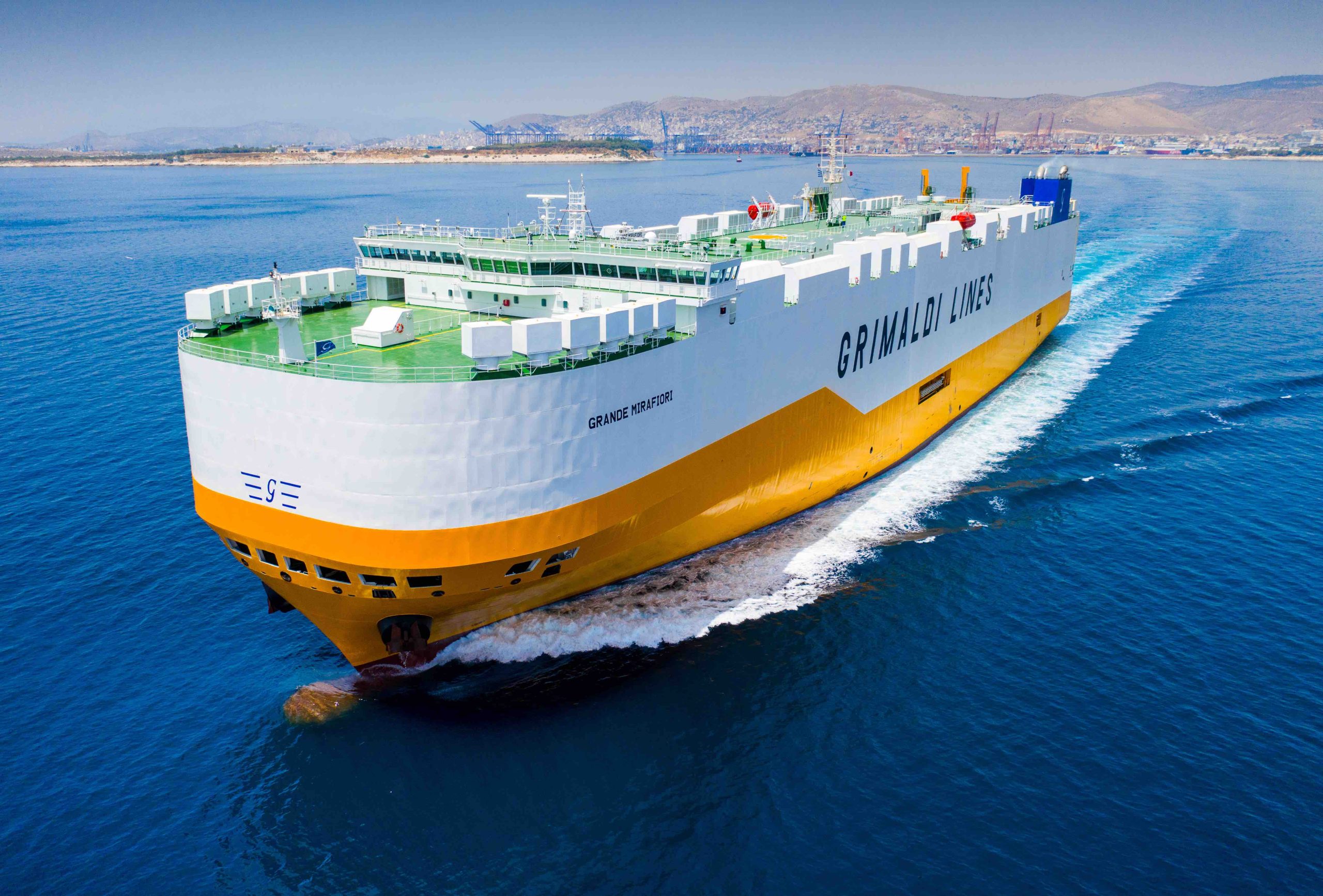
The Grimaldi Satellite Autonomous Berthing (GSAB) project, funded by the European Space Agency’s NAVISP program, has developed a system enabling automatic, high-precision port berthing operations in large (200m) carrier ships. The system provides ships’ captains and crew with an overview of ship conditions in real time in port settings, including detailed information on maneuvering operations to be performed.
Collaborating with project leader Grimaldi Group were two divisions of advanced technologies giant Kongsberg, which investigated and prototyped new systems, including the integration and fusion of various sensors to provide accurate positioning and ranging data with high integrity. The GSAB system suggests the best path for berthing based on all available and relevant information sources, while augmented reality (AR) goggles provide an intuitive method of visualizing critical berthing information.
System subcomponents include an inertial navigation system wherein GNSS measurements are fused with motion/attitude data from the Kongsberg motion gyro compass (MGC). This enables the system to deliver robust and precise data on vessel location, velocities, and acceleration. Meanwhile, a perception system includes a camera-based sensor for determining steel-to-steel distances from the vessel to any obstruction and to quays.
The results of work by Kongsberg showed increased efficiency thanks to the new system, including a clear reduction in the time required to enter and exit from a port, and a corresponding reduction of emitted pollutants.
Joint effort
Also joining the GSAB consortium was Radiolabs, a non-profit research organization formed by Hitachi Rail, WestPole and the University of Roma Tor Vergata, l’Aquila and the University of Roma Tre. Radiolabs was particularly concerned with the investigation and prototyping of a new ground truth reference system. This entailed the integration and fusion of GNSS, IMU, and LiDAR-derived data to provide accurate positioning and ranging with high accuracy.
At the recent final presentation of the GSAB project, hosted by ESA, Federica Pascucci of Radiolabs described the results of her company’s work, which was based in part on previous work in the automotive sector. She said the GSAB work was promising, having verified the effectiveness of Radiolabs’ LiDAR-based system for positioning, with adaptations necessary for application in maritime scenarios.
Overall, the GSAB project demonstrated significant potential benefits in terms of cost and time savings, and improved safety and environmental performance. The partners will now continue their work in the framework of a new ESA NAVISP-funded project, GSAB2, aimed at demonstrating the system’s use in increasingly autonomous vessels and applying newly developed, advanced algorithms based on artificial intelligence.


