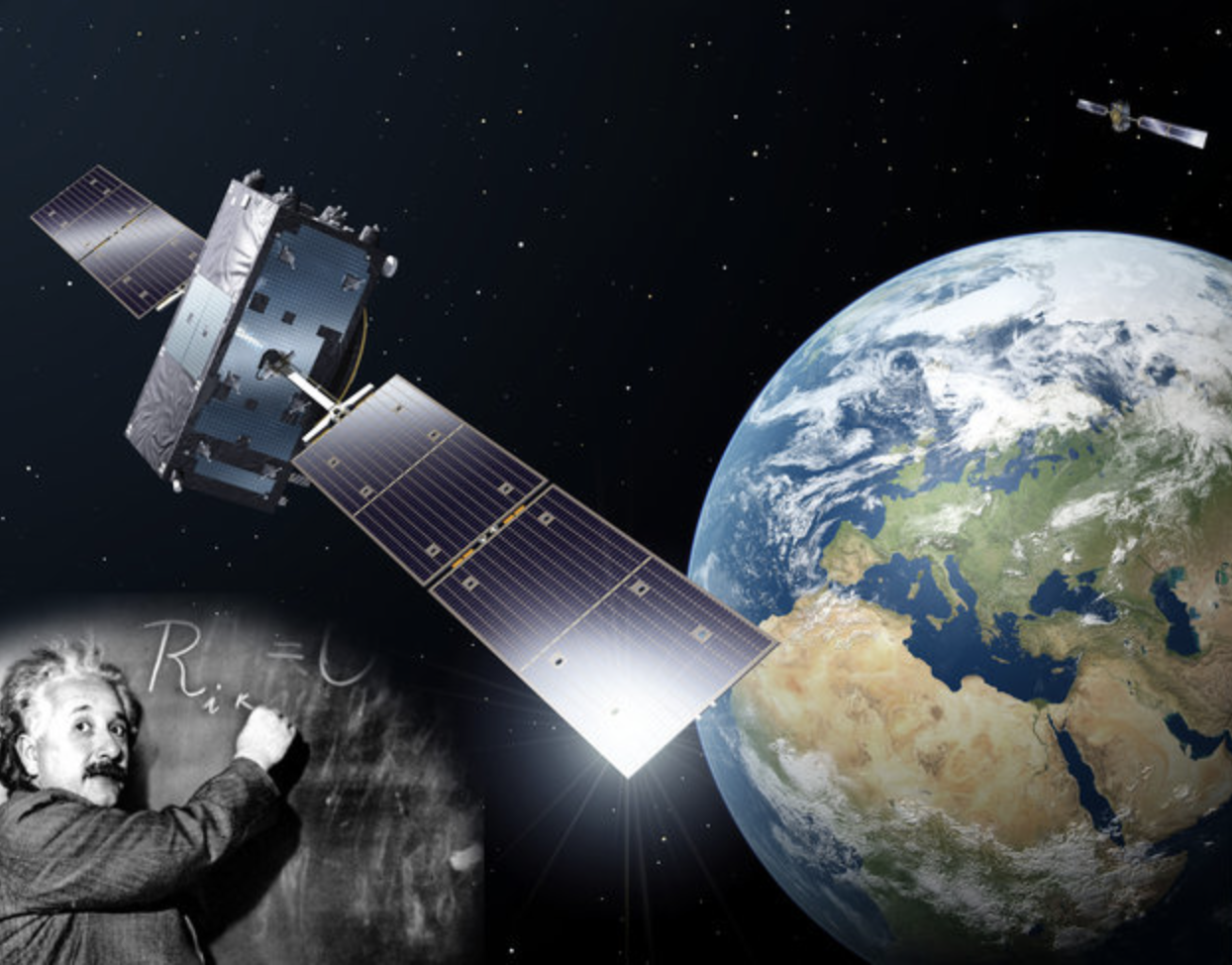
Most readers will certainly associate the new European global navigation satellite system Galileo with the name of the famous Italian physicist, astronomer and philosopher Galileo Galilei. Undoubtedly the name of the program has been well chosen if we consider the achievements of the historic Galileo in astronomy and physics alone.
Most readers will certainly associate the new European global navigation satellite system Galileo with the name of the famous Italian physicist, astronomer and philosopher Galileo Galilei. Undoubtedly the name of the program has been well chosen if we consider the achievements of the historic Galileo in astronomy and physics alone.
During his lifetime, however, Galileo dealt not only with astronomy but also founded modern kinematics by studying the motion of bodies, and, most importantly in the context of this article, examined the laws of gravity, or to speak more precisely, of gravitational acceleration. To honor his achievements the unit of gravity in the centimeter-gram-second (cgs) system is called “Gal,” defined as one centimeter per second squared.
Today this relationship is more present than ever when it comes to the subject of determining the gravity field of the Earth using moving platforms. This is especially true whenever GNSS is used to determine the (inertial) vehicle accelerations. If in a few years the Galileo system is used in addition to GPS for making gravimetric measurements, the circle will be closed back to the founder of kinematics.
The detailed structure of the Earth’s gravity field and its temporal and local variations are important for many scientific and economic applications (for example, exploration, geophysics, and geoid determination). Whenever dealing with height systems, the shape, the structure, or the interior of the Earth, the gravity field is of major interest. While the determination of the geoid — an equipotential surface representing the idealized average oceans’ level extended under the land mass — remains one of the main challenges for geodesy, the ever more thorough evaluation of the structure and the interior of the Earth continues to be a major objective of geophysics.
Therefore, the determination of the gravity field and its derivatives has been a challenge for many years, and, to help them meet that challenge, researchers have developed a variety of instruments. Although at first only static instruments were used, for decades ships have served as mobile platforms to determine gravity disturbances at sea. Nowadays, however, flying platforms such as airplanes, helicopters, and satellites are also used for gravimetry and offer significant economical advantages in comparison to stationary or shipborne methods.
This column will deal especially with airborne GPS gravimetry, which means determination of the Earth’s gravity field using aeroplanes as moving platform carrying different sensors (gravimeters). We will first consider some of the principal technical challenges, tools, and techniques associated with airborne gravimetry. Then, to illustrate these elements, our discussion will introduce and present results from airborne systems and gravimetric programs conducted by three separate organizations.
The “Bayerische Komission für die internationale Erdmessung” (BEK) of the Bavarian Academy of Sciences and Humanities (BAdW) will present their gravimetry system based on the custom-designed SAGS4 inertial measurement unit; the Institute of Flight Guidance (IFF) of the Technical University of Braunschweig, their system based on a modified Russian sensor system, and the University of the Federal Armed Forces Munich (UniBwM), their system based on a commercial, high precision ring laser gyro inertial navigation system (INS). . .
Conclusions
. . . As has been shown in our foregoing discussion, airborne GNSS gravimetry is still an evolving scientific field. Although some scalar instruments are already offered commercially, several institutes are still working on various instruments including scalar and vector gravimeters with very sensitive measuring units and customized systems, as well as dedicated algorithms and software.
Despite their differences, these efforts have in common the usage of GNSS as a sensor for the determination of the kinematic acceleration acting on the gravity instruments. Despite the various inertial sensors, the development and improvement of data fusion algorithms and the derivation of precise acceleration information by GNSS observations still seem to offer the greatest potential for the improvement of the overall system performance.
(For the complete article, including figures, graphs, and additional resources, please download the PDF version at the link above.)


