The city of Madrid is one of the first utilizing Intelligent Transport Systems (ITS) in conjunction with enhanced positioning services, in order to improve public transport services in the Spanish capital.
Recent innovations and improvements include updating the positioning on-board units in public buses, which allows for the communication of the exact position of buses, thus enabling commuters to plan their journeys and for public transport timings to be more accurate. Amongst others, these receivers use signals from EGNOS and Europe’s Galileo, which has allowed the “Empresa Municipal de Transportes de Madrid” (EMT Madrid) to improve its bus positioning services.
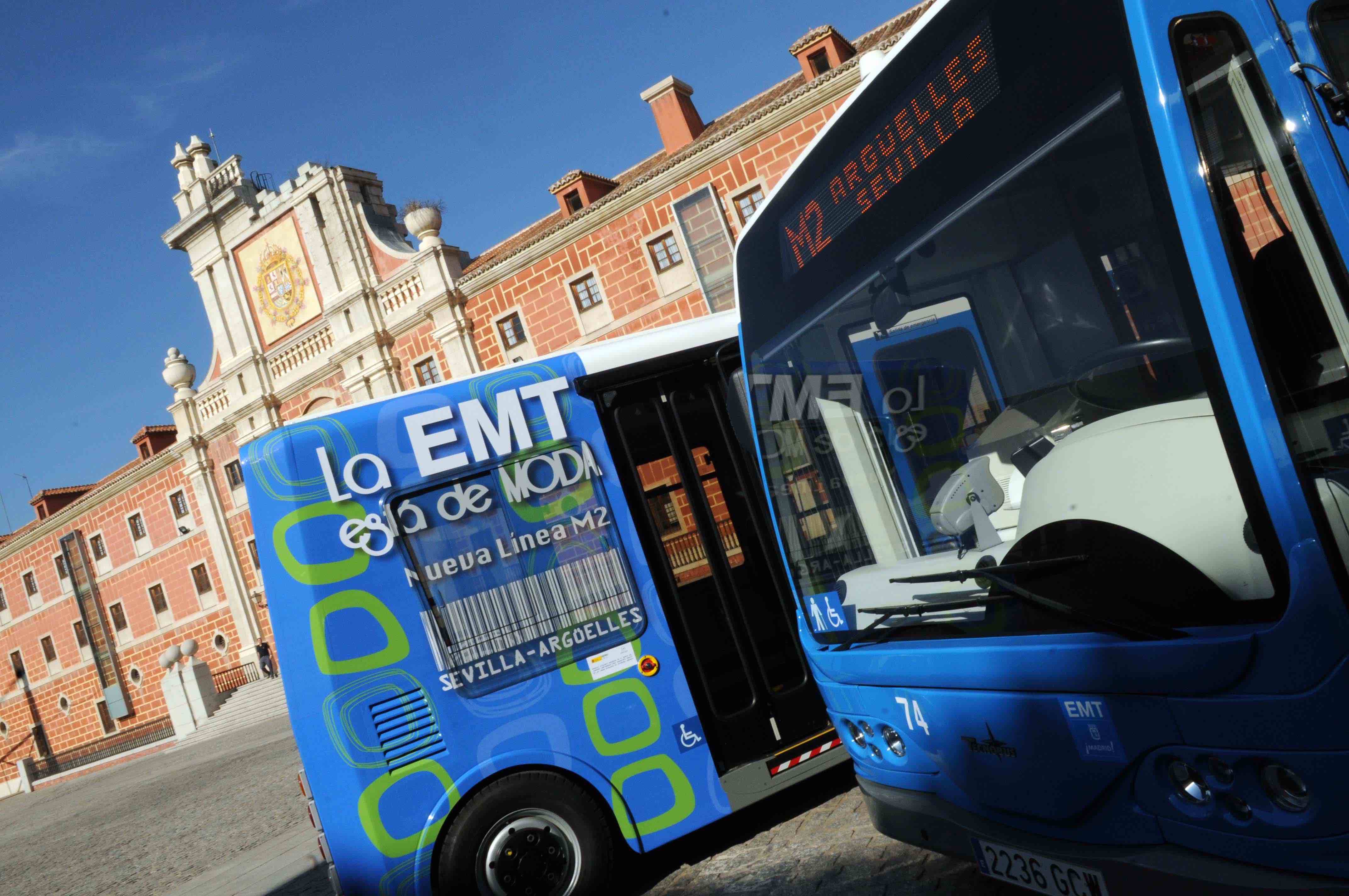
EMT is a public limited company owned by Madrid City Council, and is responsible for the network of buses and bicycle sharing service available in the Spanish capital. The company forms part of the Madrid Regional Transport Consortium, the commissioned authority that undertakes the planning of public transport in Madrid.
Improved Positioning
EMT fleet has been undergoing the biggest historic renovation of its bus fleet since 2016, according to a news release from the European Global Navigation Satellite Systems Agency (GSA). Improved positioning information on the 2,050 buses in the EMT Madrid network is invaluable, and forms part of the innovative use of ITS employed by the company, which is recognized and respected on an international level. The addition of improved positioning has elevated the fleet, one of the most modern in Europe and that boasts universal accessibility for both wheelchair using passengers and those with reduced mobility, to a new level. From now on, Galileo will serve to 420 million users per year, states the GSA.
“It is encouraging to see major public transport operators starting to use Galileo services and for European citizens to be able to benefit directly from improved positioning on their daily commutes” said Daniel Lopour, Market Development Officer from the GSA.
Public Mobility Pioneer
The company has already been pioneering the use of other technologies within transport including operational support systems, driving simulations, CCTV, WiFi, information systems, Open Data, eco driving. As part of its pioneering attitude, the entire fleet will go “eco” (both zero and low emission) by the end of 2020.
All of these ITS systems rely on positioning data, which has now become more precise thanks to Galileo services. With the help of Galileo, advanced implementation of ITS is now becoming a reality for transport and mobility companies.
[Editor’s Note: Much of this article was provided by the European GNSS Agency.]


