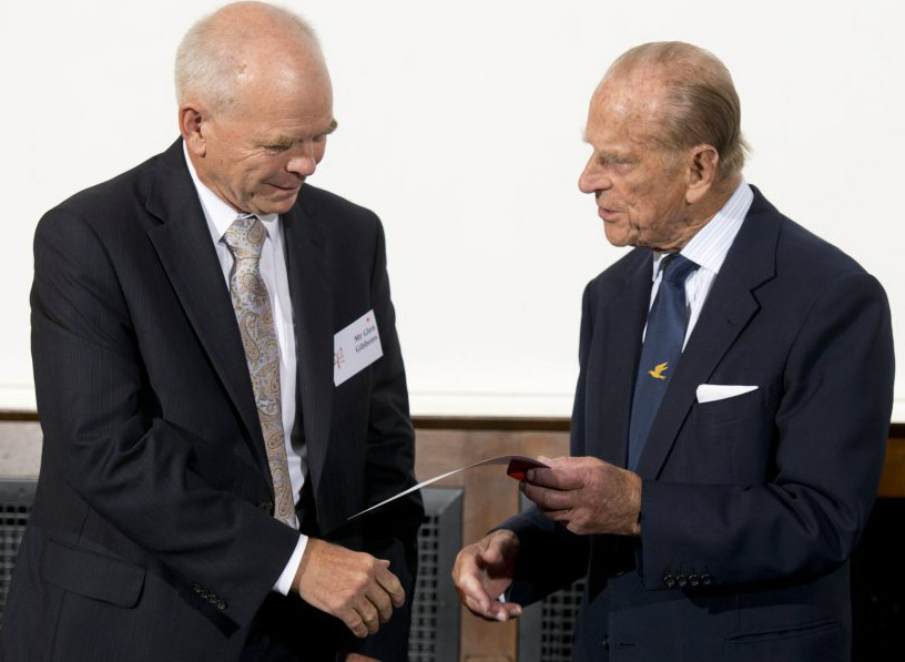
The UK’s Royal Academy of Engineering presented its highest individual award to Dr Gladys West, whose mathematical modelling paved the way for the engineering innovation of GPS. Dr West is the first woman to win the Prince Philip Medal. As a pioneer in the use of complex mathematics and efficient programming to process early satellite data to generate accurate, repeatable and global models of the Earth’s geoid, her work underpinned the mapping functions of GPS and the study of global mean sea level.
Accepting the award, Dr West said:
“It is hard for me to believe that I was a little black girl on the farm who had a dream to get off the farm, get educated, and make enough money to take care of myself. And now, I have realized my dreams and reached a height beyond what I anticipated. I encourage young women to believe in yourself, find your passion, work hard and apply yourself, stay committed, find a mentor, participate in activities that relate to your passion, never give up, always keep setting new goals and continue to strive to reach them, and most of all – follow your dreams.”
Now aged 90, Dr West was born in Dinwiddie County, Virginia, and started her career as a maths and science teacher after graduating from Virginia State University in 1952. Four years later she was hired to work at the Naval Proving Ground in Dahlgren, Virginia, (now called the Naval Surface Warfare Center), where she was the second black woman ever hired and one of only four black employees. West was a programmer in the Naval Surface Warfare Center Dahlgren Division for large-scale computers and a project manager for data-processing systems used in the analysis of satellite data.
In the 1960s, Dr West analyzed data from satellites, putting together altimeter models of the Earth’s shape. She became project manager for the Seasat radar altimetry project, one of the first satellites that could remotely sense oceans. Dr West introduced innovations, cutting her team’s processing time in half, and was recommended for a commendation in 1979.
From the mid-1970s through to the 1980s, Dr West designed, developed, tested and then used computer programs to deliver increasingly precise calculations to model the shape of the Earth – an ellipsoid with irregularities, known as the geoid. Generating an extremely accurate model required her to employ complex algorithms to account for variations in gravitational, tidal, and other forces that distort Earth’s shape. Her data ultimately became an important enabler for the Global Positioning System (GPS).
In 1986, Dr West published Data Processing System Specifications for the Geosat Satellite Radar Altimeter, a 51-page technical report from The Naval Surface Weapons Center. The guide was published to explain how to increase the accuracy of the estimation of geoid heights and vertical deflection, important components of satellite geodesy. This was achieved by processing the data created from the radio altimeter on the Geosat satellite, which went into orbit on March 12, 1984.
Dr West worked at Dahlgren for 42 years, retiring in 1998. After retiring, she completed a PhD in Public Administration.


