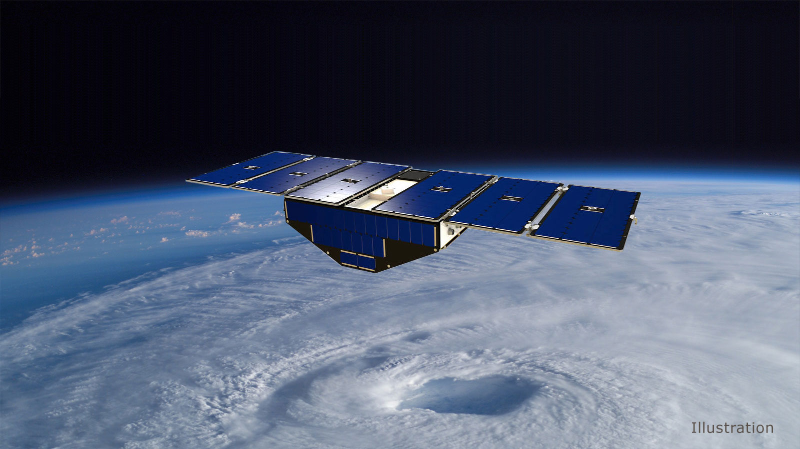
The Cyclone Global Navigation Satellite System (CYGNSS) constellation operated by the U.S. National Aeronautics and Space Administration (NASA) consists of eight miniature satellites that use GPS signals bounced off the sea surface to measure wind speeds. One after the other at 12-minute intervals, the satellites pass over tropical storms, gathering data that can be used to predict the storms’ path and their intensity.
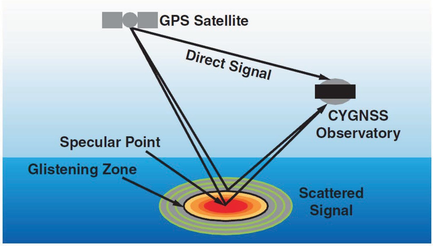
CYGNSS’s downward-looking GPS receivers are able to intercept signals returning upward. Researchers compare data from distortions in the reflected signals with those received on CYGNSS’ upward-facing receivers, getting signals directly from the GPS satellites above them. Distortions in the reflected signals show how rough the sea is, and from this they can calculate the wind speed that caused the roughness. Measuring wind-speed at the center of a storm gives very good predictive capability as to where the storm will go next and how powerful it will become.
CYGNSS is the first of NASA’s Earth Venture-class spaceborne missions, part of NASA’s Earth Science System Pathfinder program. Each CYGNSS satellite carries a Delay Doppler Mapping Instrument (DDMI), consisting of:
• a Delay Mapping Receiver (DMR)
• two nadir-pointing antennas
• one zenith-pointing antenna.
The instrument receives GPS signals scattered by the ocean surface for the purposes of bi-static scatterometry.
Scientists on the project used CYGNSS data to reconstruct the histories of hurricanes Harvey and Maria, and found that this produced more realistic forecasts of the storms’ intensity and of their subsequent tracks.
The researchers have also found that their process works very well with data drawn from flying over land masses to measure soil moisture and flooding.
For more details on these weather-prediction processes, see the Jet Propulsion Laboratory’s website here. For detailed technical and atmospheric study, see a paper in Geophysical Research Letters, “A Preliminary Impact Study of CYGNSS Ocean Surface Wind Speeds on Numerical Simulations of Hurricanes.”


