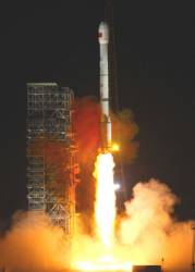
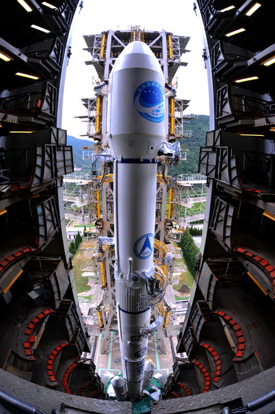
China sent a new BeiDou navigation satellite into orbit on a Long March-3A rocket from the Xichang Satellite Launch Center, in the southwestern Sichuan Province, at 4:58 a.m., Tuesday, July 10.
The satellite is the 32nd of the BeiDou navigation system, and one of the BeiDou-2 family, which is the second generation of the system. The state-run Xinhua press agency confirmed the launch within two hours after liftoff.
The launch was the 280th mission of the Long March rocket series.
China started to construct the third-generation of BeiDou system in 2017, with 8 BeiDou-3 satellites already in orbit.
“The launch of a backup BeiDou-2 satellite will ensure the system’s continuous and stable operation,” said Yang Hui, chief designer of the BeiDou-2 series, in a press release from Xinhua.
Named after the Chinese term for the Big Dipper constellation, BeiDou aims to rival the U.S. GPS system, Russia’s GLONASS and the European Union’s Galileo as a global satellite navigation system.
The system provides reliable and free, all-weather and all-time positioning, navigation and timing services to customers in the Asia-Pacific region and has never been out of service, according to the China Academy of Space Technology.
However, some of the BeiDou-2 satellites are nearing the end of their lives and need to be replaced by backup satellites. China launched two backup satellites on March 30 and June 12, 2016. This new backup has been upgraded to improve its reliability, said Yang. It carries a rubidium clock, designed to improve the accuracy of its positioning and timing.
China’s first self-developed rubidium clock was tested on a satellite in September 2006, and the performance of China’s rubidium clocks was improved on BeiDou-2 satellites, according to the agency.
This year will see an intensive launch of BeiDou satellites. The system is expected to provide navigation and positioning services to countries along the Belt and Road by late 2018. By around 2020, BeiDou will go global.
The BeiDou-3 satellites can send signals that are compatible with other satellite navigation systems and provide satellite-based augmentation, as well as search and rescue services in accordance with international standards. The positioning accuracy is reported to be 2.5 to 5 meters.
The BeiDou system will coordinate with other technology, such as remote sensing, the internet, big data and cloud computing, in the future.
In the past five years, the system has helped rescue more than 10,000 fishermen. More than 40,000 fishing vessels and around 4.8 million commercial vehicles in China have been equipped with BeiDou, spokesperson Ran Chengqi said in a press release.
China has sold more than 50 million domestically manufactured chips connected to the BeiDou navigation and positioning system in the past five years.
Tuesday’s flight marked the second successful launch in less than two days – and added another spacecraft to China’s homegrown BeiDou satellite navigation system. The launch of the BeiDou-2 I7 spacecraft was conducted less than 24 hours after the country’s space agency used a Long March 2C rocket to deliver a dual payload for Pakistan.
Developed by the China Academy of Space Technology, BeiDou-2 I7 is based on the DFH-3 satellite bus, and the spacecraft features two deployable solar arrays, a phased array antenna for navigation signals and a laser retroreflector, according to published reports. The satellite is designed to be operational for some eight years and will reside in IGSO at an altitude of about 35,780 kilometers, inclined 55.1 degrees.


