Global Navigation Satellite Systems Engineering, Policy, and Design
Global Navigation Satellite Systems Engineering, Policy, and Design
Return to main article: "Environmental Sensing"
By Inside GNSS
Return to main article: "Environmental Sensing"
By Inside GNSS
Return to main article: "Environmental Sensing"
By Inside GNSSHere’s the coolest “technology-meets-ingenuity-meets-sustainable-economics” story that I’ve heard in a long time: the International Sun-Earth Explorer-3 (ISEE-3) Reboot Project, a crowd-funded rescue mission to repurpose a 36-year-old NASA spacecraft.
By Dee Ann Divis
 One of 12 magnetograms recorded at Greenwich Observatory during the Great Geomagnetic Storm of 1859
 1996 soccer game in the Midwest, (Rick Dikeman image)
 Nouméa ground station after the flood
 A pencil and a coffee cup show the size of NASA’s teeny tiny PhoneSat
 Bonus Hotspot: Naro Tartaruga AUV
 Pacific lamprey spawning (photo by Jeremy Monroe, Fresh Waters Illustrated)
 “Return of the Bucentaurn to the Molo on Ascension Day”, by (Giovanni Antonio Canal) Canaletto
 The U.S. Naval Observatory Alternate Master Clock at 2nd Space Operations Squadron, Schriever AFB in Colorado. This photo was taken in January, 2006 during the addition of a leap second. The USNO master clocks control GPS timing. They are accurate to within one second every 20 million years (Satellites are so picky! Humans, on the other hand, just want to know if we’re too late for lunch) USAF photo by A1C Jason Ridder.
  Detail of Compass/ BeiDou2 system diagram
 Hotspot 6: Beluga A300 600ST

1. SMART BALL
Portland, Oregon USA
√ Adidas has designed every official World Cup ball since 1970. And that’s not all! The Adidas Innovation Team in Portland, Oregon, spent 4 years on a smart soccer ball with a “six-axis MEMS accelerometer sensor package” that can detect speed, spin, strike and flight path data and whip it on over to the special GPS app on your iPhone. The app interprets the data for you, coaches you, and keeps a video to show your friends. On sale now for only $299.
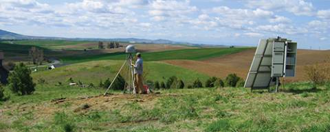
 Ken Hudnut, U.S. Geological Survey
For at least two decades, GPS experts, geodesists, and public agencies have been working together to develop high-accuracy, large-scale continuously operating GPS reference stations that provide them the capability to monitor and model crustal deformation, tectonic plate movement, and the effects of geohazards such as earthquakes and volcanic eruptions.
Now, GNSS-augmented advance warning systems are going into place that can give us a crucial margin of safety in the event of an earthquake.
And none too soon.
By Inside GNSS
Washington, D.C., has a peculiarity of seasons. While most of the world marks the shifts between winter and spring, summer and autumn, the politicos on the streets of the U.S. capital count the passage of time in two-year increments.
New operatives and appointees flock to the centers of power in the early days of each administration and the opening of each Congress, then migrate to friendlier climes as congressional elections loom and the administration winds down — as it is now.
By Dee Ann Divis