signal Archives - Page 18 of 22 - Inside GNSS - Global Navigation Satellite Systems Engineering, Policy, and Design

signal

July 8, 2009

Raytheon GPS Receiver Team Tracks M-Code Satellite Signal

The GPS Wing has announced that the Raytheon Modernized User Equipment (MUE) team has achieved live satellite M-code tracking with an MUE receiver.

The team has developed modernized versions of the Avionics GPS Receiver Application Module and Ground Based GPS Receiver Applications Module (GB-GRAM) receivers under MUE receiver development contracts awarded to three companies in June of 2006. M-code signals from Block IIR GPS satellites were acquired using a Raytheon GB-GRAM-M.

Read More >

By Inside GNSS
June 29, 2009

GPS Wing Seeks Manufacturer, User Feedback on SVN49 Signal Anomaly, Solution

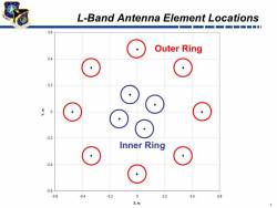
GPS satellite L-band antenna elements

The GPS Wing is reaching out to receiver manufacturers and the user community to gather comments on the SVN49 signal anomaly and the Air Force’s provisional solution to the problem.

Despite earlier news reports suggesting that the problem, which has kept the latest GPS satellite from being declared operational, was on its way to being solved, a GPS Wing spokesperson characterized the remedy of altering the satellite’s broadcast orbital position (ephemeris) and time as only a “partial fix.” Indeed, high-precision dual-frequency users, such as those in the International GNSS Service, may continue to encounter difficulties in handling the SVN49 signal.

Read More >

By Inside GNSS
June 25, 2009

FAA Awards New WAAS Receiver Contract to NovAtel

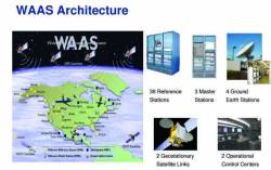
FAA graphic

GNSS manufacturer NovAtel Inc., of Calgary, Alberta, Canada, has received a new contract from the Federal Aviation Administration (FAA) to develop the next-generation GPS Wide Area Augmentation System (WAAS) reference receiver (the “GIII” receiver). The three-year contract is worth up to US$9.7million.

Read More >

By Inside GNSS
[uam_ad id="183541"]

Saving GPS SVN49: Tweaking Satellite Ephemerides and Time

When GPS reference receivers at the European Space Operations Center (ESOC) detected a 150-meter error in the broadcast ephemerides (orbital position) for the latest GPS satellite — Space Vehicle Number 49 or SVN49 — scientists there assumed that a problem had arisen with the spacecraft’s navigation payload.

After all, coupled with an apparent 500-nanosecond clock error, the ephemerides could produce many kilometers of errors for navigation receivers.

Read More >

By Inside GNSS
June 16, 2009

Air Force May Be Able to Fix Problem with Latest GPS Satellite

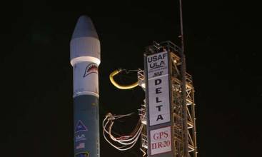
Members of the 45th Launch Support Squadron, along with the 45th Range Management Squadron’s GPS team, pause in front of the GPS IIR-20 satellite atop its Detla II booster prior to its launch March 24. (Lockheed Martin photo/Bruce Johnson)

U.S. Air Force officials have confirmed that signal anomalies on the latest GPS satellite — IIR-20(M), also identified as SVN49/PRN01 — are related to the interface to the new L5 payload also on board.

But the problem appears fixable.

The spacecraft has remained is still in early orbit checkout since its launch on March 24 and has not been introduced into the operational constellation.  

A dedicated response team of Air Force and contractor experts are wrapping up their investigation of the cause of the L1 signal anomalies, which were detected on April 9. The signal distortion was initially observed as an elevation-dependent bias in ranging measurements from GPS monitor stations.

Read More >

By Inside GNSS
June 4, 2009

Changes in Store for U.S. Military GPS Equipment Development and Acquisition

DAGR 2008. Rockwell Collins image

Development and acquisition of military GPS user equipment (MGUE) are taking on new dimensions across the board — institutionally, procedurally, and technologically.

Along the way, the changes could redefine relationships within the Department of Defense (DoD) and between the agency and industry.

At the agency level, a proposal is forthcoming to “stand up” a positioning, navigation, and timing (PNT) user equipment joint program office (JPO) that would incorporate UE responsibilities (and budgets) now exercised by the GPS Wing (GPSW).

Read More >

By Inside GNSS
May 22, 2009

First Look: Initial Observations of the GPS L5 Broadcast and L1 Signal Anomaly

(Updated May 22, 2009) Leading researchers from Ohio University, Stanford, and the University of Colorado have released their initial observations of the GPS L5 signal broadcast, including an anomaly in SVN49’s L1 signal reported by the GPS Wing’s chief engineer on May 4.

The U.S. Air Force switched on the eagerly awaited, modernized L5 signal on April 10 after the successful launch of the newest GPS Block IIR-M satellite – SVN49 – in March. This was the first broadcast of a GPS signal in a frequency band dedicated solely for civilian use.

Read More >

By Inside GNSS
[uam_ad id="183541"]
April 26, 2009

Loctronix Gains Patent for Its Spectral Compression Positioning, Tracks CDMA, GNSS

Loctronix SCP technology

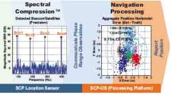
[Updated 4/26/09] On March 31, the U.S. Patent Office granted Loctronix Corporation its first patent, which will provide the foundation for its Spectral Compression Positioning (SCP) technology that enables multi-source positioning capability in a single sensor. Subsequently, the company announced that it had successfully achieved meter-level ranging performance using CDMA cellular signals.

Read More >

By Inside GNSS
April 20, 2009

Septentrio Receivers Track L5, Other SVN49 Signals

SVN49 L1 C/A (red) and L5 Signals. Septentrio image.

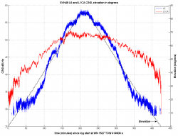
Septentrio reports success in tracking five signals being transmitted from the modernized GPS Block IIR satellite with the L5 demonstration payload launched on March 24.

Now designated space vehicle number 49 (SVN49), the satellite began broadcasting in the L1 and L2 band on March 28, shortly after the spacecraft reached its quasi-circular middle earth sorbit.

Read More >

By Inside GNSS
April 10, 2009

Air Force Secures ITU Filing with GPS L5 Signal Transmission

Time Series and Power Spectrum of the L5 Demonstration Signal

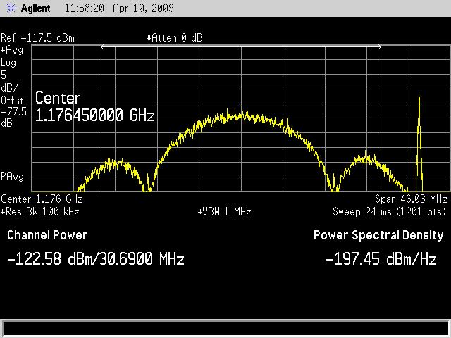
The GPS IIR-20(M) satellite successfully transmitted for the first time a GPS signal in the L5 frequency band today (April 10), according to the U.S. Air Force operators of the Global Positioning System. L5, the third civil GPS signal, will eventually support safety-of-life applications for aviation and provide improved availability and accuracy to users.

Read More >

By Inside GNSS
April 9, 2009

GPS L5 Signal Goes on the Air April 10

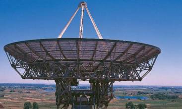
Stanford “Big Dish” Antenna

U.S. Air Force officials are moving quickly to turn on the new civil GPS L5 signal after lengthy delays due to technical problems had brought the program close to an International Telecommunications Union (ITU) deadline for transmitting on the frequency.

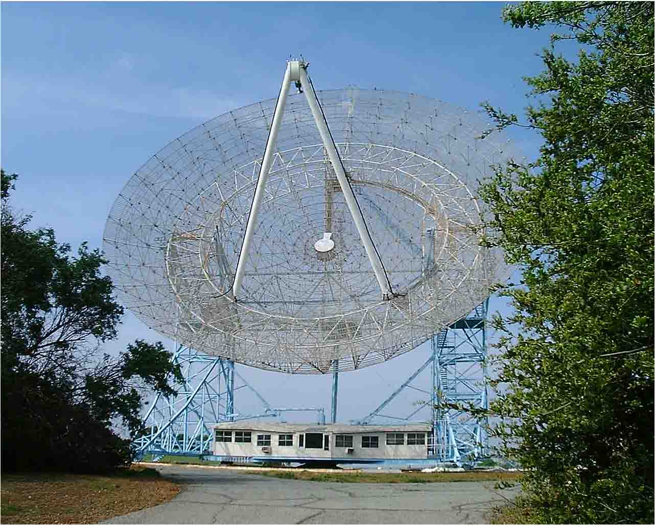
The Air Force plans to begin transmitting the signal at 5 a.m. (PDT) on April 10 using the Block II R-20(M) satellite launched March 24. An L5 signal demonstration is planned the same day, organized by the GPS Wing and SRI International. The L5 spectrum will be received and plotted at the SRI’s 150-foot “big dish” antenna facility in the hills over looking Stanford University, California.

Read More >

By Inside GNSS
March 24, 2009

GPS Satellite with L5 Payload Launches Successfully

Block IIR-20(M) launch from Cape Canaveral. Photo by Carleton Bailie, United Launch Alliance.

GPS program managers and users — especially the U.S. civil aviation community — can breathe a sign of relief following the successful launch Tuesday (March 24) of a satellite carrying a demonstration payload of the new L5 signal.

Built by the Lockheed Martin Company, the modernized Block II replenishment spacecraft, GPS IIR-20(M), is moving toward plane B, slot 2 to replace space vehicle number (SVN) 30. If all goes well, U.S. Air Force controllers expect to set the satellite healthy for navigation users worldwide next month.

Among other signals and capabilities, the IIR-20(M) will be the first to transmit the new GPS civil signal centered on 1176.45MHz (±12 MHz) within the protected aeronautical radionavigation service (ARNS) band. This so-called L5 signal will provide a second safety-of-life signal that meets the technical requirements for enabling aircraft to make precision landings in high multipath environments.

Read More >

By Inside GNSS
1 16 17 18 19 20 22
IGM_e-news_subscribe