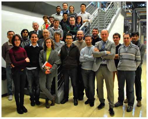
 A photo of the NavSAS group (December 2011)
On December 12, 2011, one of the two Galileo in-orbit validation (IOV) satellites launched on October 21 — the Galileo- ProtoFlight Model (PFM) spacecraft — started transmitting its payload signal on the E1 band over Europe.
That same day NavSAS researchers were able to acquire and track the E1 signal (Galileo Code Number 11) beginning at 14:46:15 CET. Two days later, on December 14, the E5 signal became available as well.
By Inside GNSSReturn to main article: "Staying In Lane"
By Inside GNSS
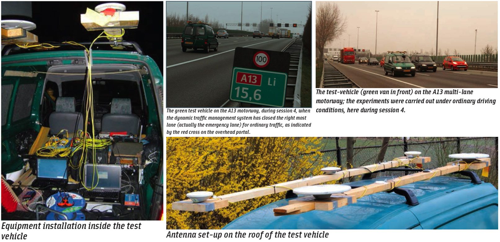
Next-generation car navigation may well require the ability to identify the lane in which a vehicle is operating on a motorway. This could support advanced driver assistance in general as well as the observation and study of driver behavior and traffic flow. Such road vehicle applications call for sub-meter positioning accuracy, often in real-time — all this preferably at low-cost.
By Inside GNSSConsumer demand for positioning information is currently being met by a plethora of wireless positioning technologies. The most popular consumer positioning technology, GNSS, is only one option along with several methods that use cellular networks to provide location, such as wireless local area networks (WLANs), wireless personal area networks (WPANs), radio frequency identification (RFID) tags, and ultrawideband (UWB) communications.
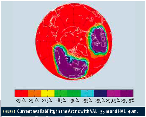
By Inside GNSS FIGURE 1: Current availability in the Arctic with VAL=35 m and HAL=40m.
The Arctic houses an estimated 90 billion barrels of undiscovered, technically recoverable oil and 44 billion barrels of natural gas liquids according to the U.S. Geological Survey. These potential energy reserves represent 13 percent of the untapped oil in the world.
By Inside GNSSReturn to main article: "GPS Interference Testing"
By Inside GNSSReturn to main article: "GPS Interference Testing"
By Inside GNSSReturn to main article: "GPS Interference Testing"
By Inside GNSSReturn to main article: "GPS Interference Testing"
By Inside GNSS