November 9, 2018
Ag Leader Introduces New Guidance and Steering Solutions Including Dual-Antenna Automated Steering
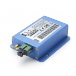
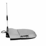
Ag Leader just unveiled new guidance and steering solutions including a dual-antenna automated steering system and the latest in GNSS technology to be added to its already high-end precision agriculture guidance and steering line.
By Inside GNSS