December 16, 2019
Last Call for Driverless Protocol — Buzzwords Shared.
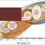
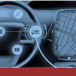
There’s still time, barely, to sign up for this week’s webinar. Learn 3 key concepts for autonomous automotivery: lane level, antenna phase center offset and phase center variation.
By Inside GNSS