ICG-10: 10th Meeting of the International Committee on GNSS
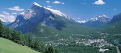
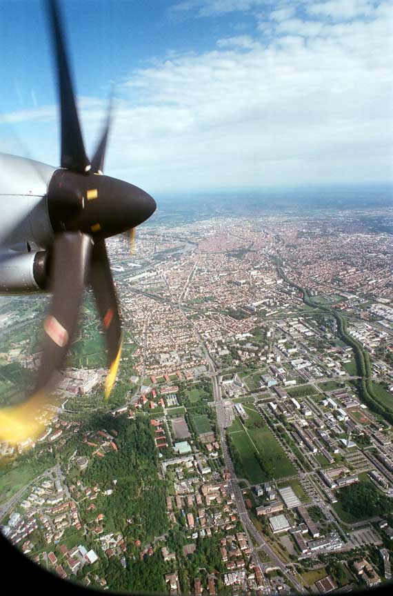
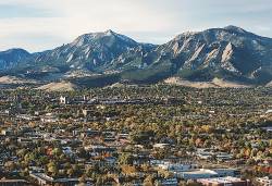
Aerial view of Boulder in OctoberThe tenth meeting of the International Committee on GNSS (ICG) will take place in Boulder, Colorado from November 1 through 6 2015. It will be hosted by the United States and organized by University Corporation for Atmospheric Research (UCAR) on behalf of the U.S. State Department.
It will take place at UCAR headquarters on the Center Green Campus in Boulder.
By Inside GNSS