GPS Archives - Page 94 of 138 - Inside GNSS - Global Navigation Satellite Systems Engineering, Policy, and Design

GPS

July 16, 2012

UAVs Vulnerable to Civil GPS Spoofing

University of Texas–Austin drone

In June a research team from the University of Texas at Austin (UT-Austin) demonstrated for the first time that a civilian unmanned aerial vehicle (UAV) can be commandeered in mid-flight by a civil GPS spoofing attack. The result will likely factor into the Federal Aviation Administration’s (FAA’s) plans to draw up rules for integrating UAVs into U.S. airspace by 2015.

Read More >

By Inside GNSS
July 13, 2012

Galileo SVs Test ‘Dummy’ MBOC Signal in Space

Galileo IOV’s Composite Binary Offset Carrier (CBOC) modulation on E1 Open Service signal, courtesy of ESA Off-line Analysis SIS Software

The first two Galileo in-orbit validation (IOV) satellites in space have achieved a new milestone, transmitting dummy signals in a modulation scheme designed to allow full interoperability with GPS once operational services start.

“This is an advanced modulation technique that offers robust protection against signal interference and the misleading signal reflections known as ‘multipath’,” said Marco Falcone, Head of Galileo System Services.

Read More >

By Inside GNSS
[uam_ad id="183541"]
July 11, 2012

14th IAIN World Congress: International Association of Institutes of Navigation

Concorde El Salam Hotel

The biennial International Association of Insitutes of Navigation (IAIN) World Congress will take place in Cairo, Egypt from October 1 to October 3, 2012, in conjunction with MELAHA 2012, the 6th Arab Institute of Navigation conference and exhibition.

The conference venue is the Concorde El Salam hotel in the tranquil Helipolis suburb, a 10 minute drive from the airport

The theme is "Seamless Navigation: Challenges and Opportunities."

Read More >

By Inside GNSS
July 5, 2012

Single- versus Dual-Frequency Precise Point Positioning

Q: What are the tradeoffs between using L1-only and L1+L2 for PPP?

A: Precise point positioning (PPP) is a technique that can compute positions with a high accuracy anywhere on the globe using a single GNSS receiver. It relies on highly accurate satellite position and clock data that can be downloaded from the International GNSS Service (IGS) or obtained in real-time from a number of service providers, using either the Internet or satellite links.

Read More >

By Inside GNSS
July 4, 2012

Addition of Leap Second Highlights Campaign for Its Elimination

[Updated July 4] The world’s dominant mode of timekeeping, Coordinated Universal Time (UTC), took on another leap second on Saturday, June 30 at 23:59:60 UTC.

And then the fun began: the addition caused software handling Internet services such as LinkedIn, Pinterest, Mozilla, Reddit, StumbleUpon, Yelp, FourSquare and Gawker to behave unpredictably or even crash over the weekend.

Read More >

By Inside GNSS
July 2, 2012

House and Senate Slash Civil GPS Funding

[Updated July 2] Appropriators in both the U.S. House and Senate have slashed next year’s funding for support of the civil portion of the GPS program. Lawmakers halved the portion of the Federal Aviation Administration budget dedicated to supporting the civil signals as well as the ground network monitoring of those signals.

Read More >

By Inside GNSS
[uam_ad id="183541"]
June 29, 2012

House Action Would Thwart GPS-Aided Tracking of Commercial Trucks

Independent truck operators and a general fear of government surveillance led to passage of an amendment today (June 29, 2012) that would prohibit U.S. agencies from implementing any rule requiring GPS tracking or other devices to be installed in passenger or commercial vehicles.

In a voice vote on the floor of the U.S. House of Representatives, congressmen approved the amendment to H.R. 5972, the Transportation, Housing and Urban Development and Related Agencies Appropriations Act of 2013.

Read More >

By Inside GNSS
June 26, 2012

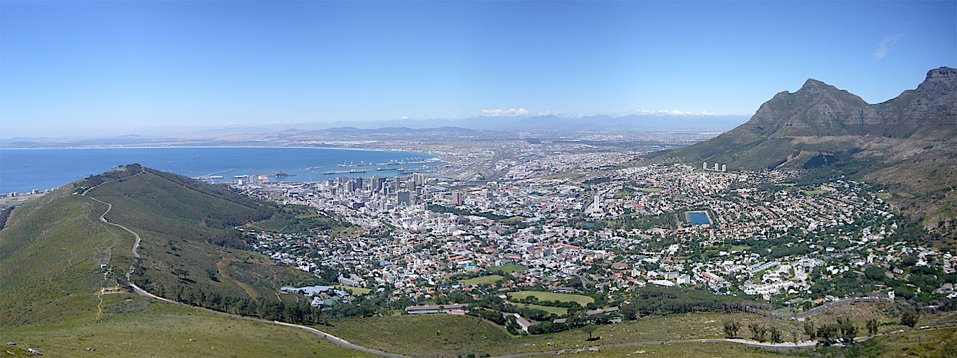
GISSA Ukubuzana 2012

Central area, Emperors Palace convention center and resort

The Geo-Information Society of South Africa will hold its 2012 conference and exhibition, GISSA Ukubuzana*, on October 2, 3 and 4 at the Emperors Palace Convention Centre, Jones Road, Kempton Park in Gauteng. A free shuttle bus is available every 20 minutes from Johannesburg’s O.R. Tambo (ORTIA) airport to the convention center.

The theme is "An African Dialogue: Geomatics for Infrastructure Development and Service Delivery."The keynote speaker will be Dean Angelides, ESRI’s corporate director for international operations.

Read More >

By Inside GNSS
June 23, 2012

GNSS and Positioning for the Future Workshop

Northern Jutland Peninsula

A seven day workshop on GNSS and Positioning for the Future will be held at a Jutland (North Sea) resort in Denmark from August 27 through September 2, 2012. It is open all those with an interest in satellite positioning and navigation but limited to the first 50 registered participants.

The workshop will cover GNSS basics, new satellite navigation systems, arctic navigation, intelligent transportation systems and environmental monitoring, with lectures by international experts in those fields. The program and full list of lecturers are available on the event website.

Read More >

By Inside GNSS

Spirent Launches New Entry-Level Multi-GNSS Simulator

Spirent Communications has announced the launch of its new eight-channel GSS6300M Multi-GNSS simulator designed for integration, verification, and production testing where a quick and accurate functional test is needed.
 
The platform supports simulation of signals from individual or combined GPS/SBAS, GLONASS, and Galileo constellations with up to 24 channels are supported with 8 channels of simulation per constellation.
 

Read More >

By Inside GNSS
1 92 93 94 95 96 138
IGM_e-news_subscribe