GPS

May 18, 2014

GNSS Hotspots | May 2014

One of 12 magnetograms recorded at Greenwich Observatory during the Great Geomagnetic Storm of 1859
1996 soccer game in the Midwest, (Rick Dikeman image)
Nouméa ground station after the flood
A pencil and a coffee cup show the size of NASA’s teeny tiny PhoneSat
Bonus Hotspot: Naro Tartaruga AUV
Pacific lamprey spawning (photo by Jeremy Monroe, Fresh Waters Illustrated)
“Return of the Bucentaurn to the Molo on Ascension Day”, by (Giovanni Antonio Canal) Canaletto
The U.S. Naval Observatory Alternate Master Clock at 2nd Space Operations Squadron, Schriever AFB in Colorado. This photo was taken in January, 2006 during the addition of a leap second. The USNO master clocks control GPS timing. They are accurate to within one second every 20 million years (Satellites are so picky! Humans, on the other hand, just want to know if we’re too late for lunch) USAF photo by A1C Jason Ridder.
Detail of Compass/ BeiDou2 system diagram
Hotspot 6: Beluga A300 600ST

JPL uses GPS to find Sierra Nevada water weight; Near collision of drone and regional jet prompts questions, West Antarctic ice sheet melt at “point of no return,” First Galileo FOC satellites at launch site, China’s GBAS tested in Tianjin

Read More >

By Inside GNSS

Papering Over Safety Gaps

Well, I could have taken up the subject of the deteriorating condition of U.S./Soviet, excuse me, U.S./Russian relations. But there are only so many windmills that I have time to tilt at.

So, rather than tracing the dissolution of bilateral GNSS cooperation in the wake of Russia’s reclaiming the Crimea and, who knows, perhaps eventually a large swath of eastern Ukraine, I thought I’d turn to an only slightly more remediable issue — GNSS carriage requirements.

Read More >

By Inside GNSS

GNSS in Military Affairs

Doug Taggart, Overlook Systems Technologies

In the “gee-whiz” awesomeness of proliferating GNSS apps, it’s sometimes hard to remember that Global Positioning System originated as a military system designed to meet strategic and tactical needs on the battlefield.

And, with the U.S. Air Force continuing its 40-year mission as the executive agent for sustaining GPS, that undiminished military role plays no small part in ensuring the availability and reliability of the U.S. contribution to the GNSS system of systems.

Read More >

By Inside GNSS
[uam_ad id="183541"]

FAA UAV Exemption Process Is in Place, Though Perhaps Imperfect

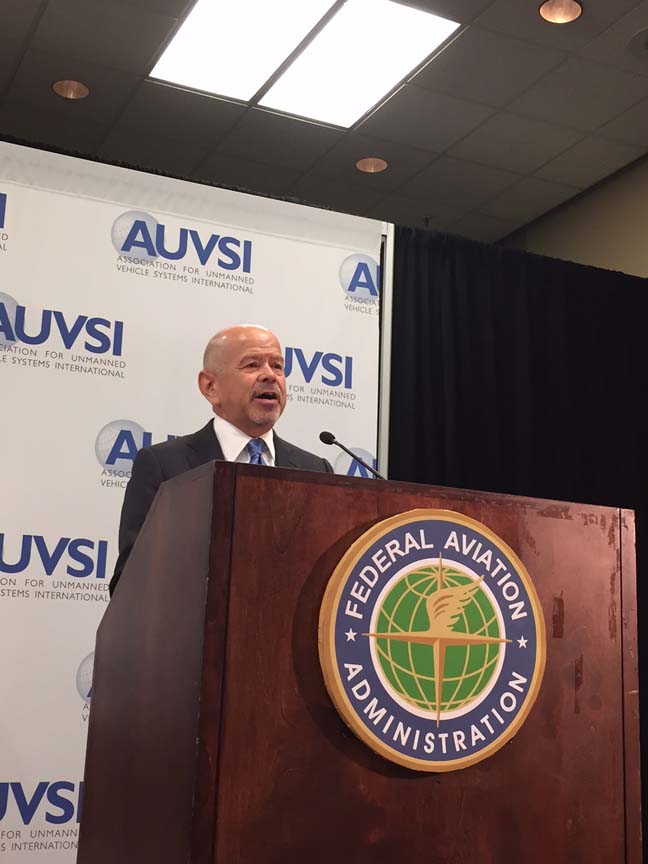
Jim Williams, FAA UAS Integration Office. AUVSI photo

Companies hungry to offer commercial services in the United States with unmanned aircraft finally have something to chew on.

The Federal Aviation Administration (FAA) has laid out a process whereby a carefully selected set of unmanned aerial systems (UAS) may be granted an exemption to do for-pay flights before the first broad rules for U.S. flying unmanned aircraft are finalized.

Read More >

By Inside GNSS

Lawmaker: No Prospect of Federal Funding for FAA UAS Test Ranges

Rep. Frank LoBiondo, New Jersey

No federal funding is available nor will there be for the six test ranges chosen to help integrate unmanned aircraft into the national airspace, a key lawmaker told attendees at a prominent conference on unmanned systems.

“I don’t see Congress doing that [providing money for the ranges],” said Frank LoBiondo, R–New Jersey, the chairman of the House Aviation Subcommittee in response to a question during an Association for Unmanned Vehicle Systems International (AUVSI 2014) conference in Orlando, Florida, last week.

Read More >

By Inside GNSS
May 17, 2014

Sixth GPS IIF Spacecraft Launches

On Friday (May 16, 2014) the U. S. Air Force successfully launched the sixth Global Positioning System (GPS) IIF satellite on board a United Launch Alliance Delta IV launch vehicle. The launch took place at 8:03 EDT from Cape Canaveral Air Force Station, Florida.

The GPS IIF generation of satellites, built by The Boeing Corporation, provides greater navigational accuracy through improvements in atomic clock technology, a more resilient signal for commercial aviation and safety-of-life applications and a longer design life of 12 years.

Read More >

By Inside GNSS
May 15, 2014

MELAHA 2014: Arab Institute of Navigation (AIN) Conference

"Resilience Navigation" is the theme of the 2014 Arab Institute of Navigation Conference and Exhibition, MELAHA. It will take place at the Radisson Blu Hotel in Alexandria, Egypt on September 1-3, 2014.

The deadline for submission of abstracts is May 30, 2014. Papers should be submitted electronically as a pdf file to the email address listed below.

The conference topics are:

Read More >

By Inside GNSS
[uam_ad id="183541"]

ESA International Summer School on GNSS 2014

The European Space Agency (ESA) International Summer School on GNSS 2014 take place July 21–31 on the campus of the Technical University of Ostrava, Czech Republic.

Held in conjunction with the European Commission Joint Research Center’s Summer School on GNSS, the program is open to graduate students (with a first university degree), Ph.D. candidates, early-stage researchers, and young professional seeking to broaden their knowledge.

Read More >

By Inside GNSS

MEDUSA final event on GNSS for Aviation

The Euromed GNSS II/MEDUSA project will hold its final event on GNSS for aviation on June 4, 2014 in Tunis at GEMCO premises in Elgazala Technopark.

The event aims at presenting the MEDUSA’s experience in the airport of Monastir, and sharing the lessons learnt with the aviation communities from the Euromed countries.

Attendees will also have the opportunity to take stock of the present situation in relation to the use of GNSS/EGNOS for approaches in the Euromed countries, and to discuss the next steps and actions towards operational implementation.

Read More >

By Inside GNSS
May 8, 2014

ESA GNSS Summer School Offers Technical and Business Courses

The European Space Agency (ESA) International Summer School on GNSS 2014 take place July 21–31 on the campus of the Technical University of Ostrava, Czech Republic.

Held in conjunction with the European Commission Joint Research Center’s Summer School on GNSS, the program is open to graduate students (with a first university degree), Ph.D. candidates, early-stage researchers, and young professional seeking to broaden their knowledge.

Read More >

By Inside GNSS

DoD Condenses Acquisition Strategy to Speed M-Code Units

A shift in the Air Force’s acquisition plan should shave a year off the time needed to finish development of new M-code–equipped receivers and potentially inspire more commercially flavored innovation — and perhaps even the entry of new vendors.

The new approach enables the Pentagon to fulfill a congressional mandate to buy only M-code receivers after fiscal year 2017 and could help convince the user community, jaded by previous delays, to speed adoption of the more resilient devices.

Read More >

By Dee Ann Divis
1 78 79 80 81 82 144
IGM_e-news_subscribe