Intermodulation Effects: Another Perspective on LightSquared Interference to GPS
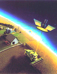
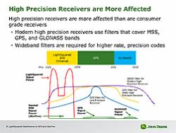
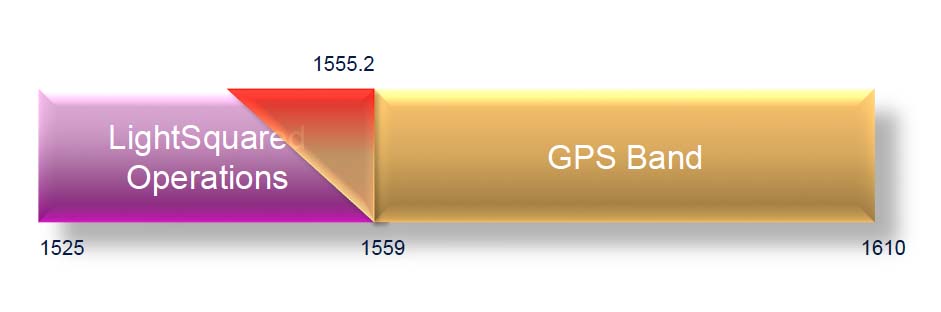
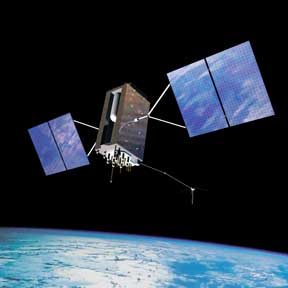
Much of the research into the possible effects of the planned LightSquared cellular broadband transmissions near the GPS L1 band have focused on the saturation of the front end of GPS receivers caused by the high power of the terrestrial LightSquared base stations. In this article, an engineer with a long history in broadcast digital television takes a look at the likely effects on GPS receivers of third-order intermodulation products created by the LightSquared signals.
By Inside GNSS