April 10, 2013
GPS Design Changes Will Add Waveform Generator, Dual-Launch Capability, and More
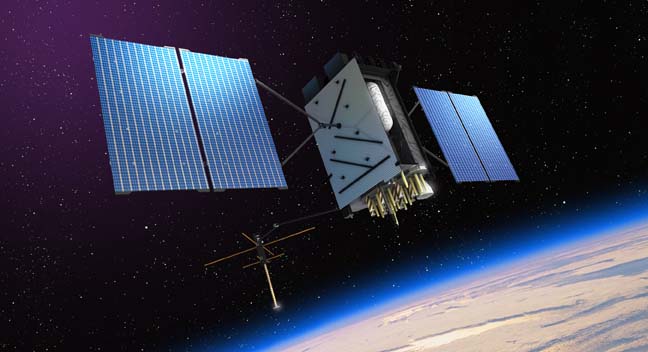
A redesign of the GPS satellites under development by Lockheed Martin will add a signal waveform generator, search and rescue payload, laser retroreflector array (LRA), and dual-launch capability beginning with Space Vehicle 9 (SV09).
By Inside GNSS