March 5, 2026
Spirent SimXTRACT Converts Real-World GNSS Environments into Repeatable Lab Scenarios
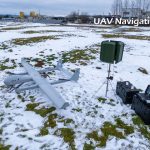
Spirent Communications, now part of Keysight Technologies, has introduced a new GNSS test tool designed to close the long-standing gap between field data collection and laboratory simulation in PNT testing.
By Inside GNSS