Applanix has released its POSPac MMS 8 GNSS-aided inertial post-processing software for georeferencing data collected from cameras, LIDARs, multi-beam sonars, and other sensors on mobile platforms.
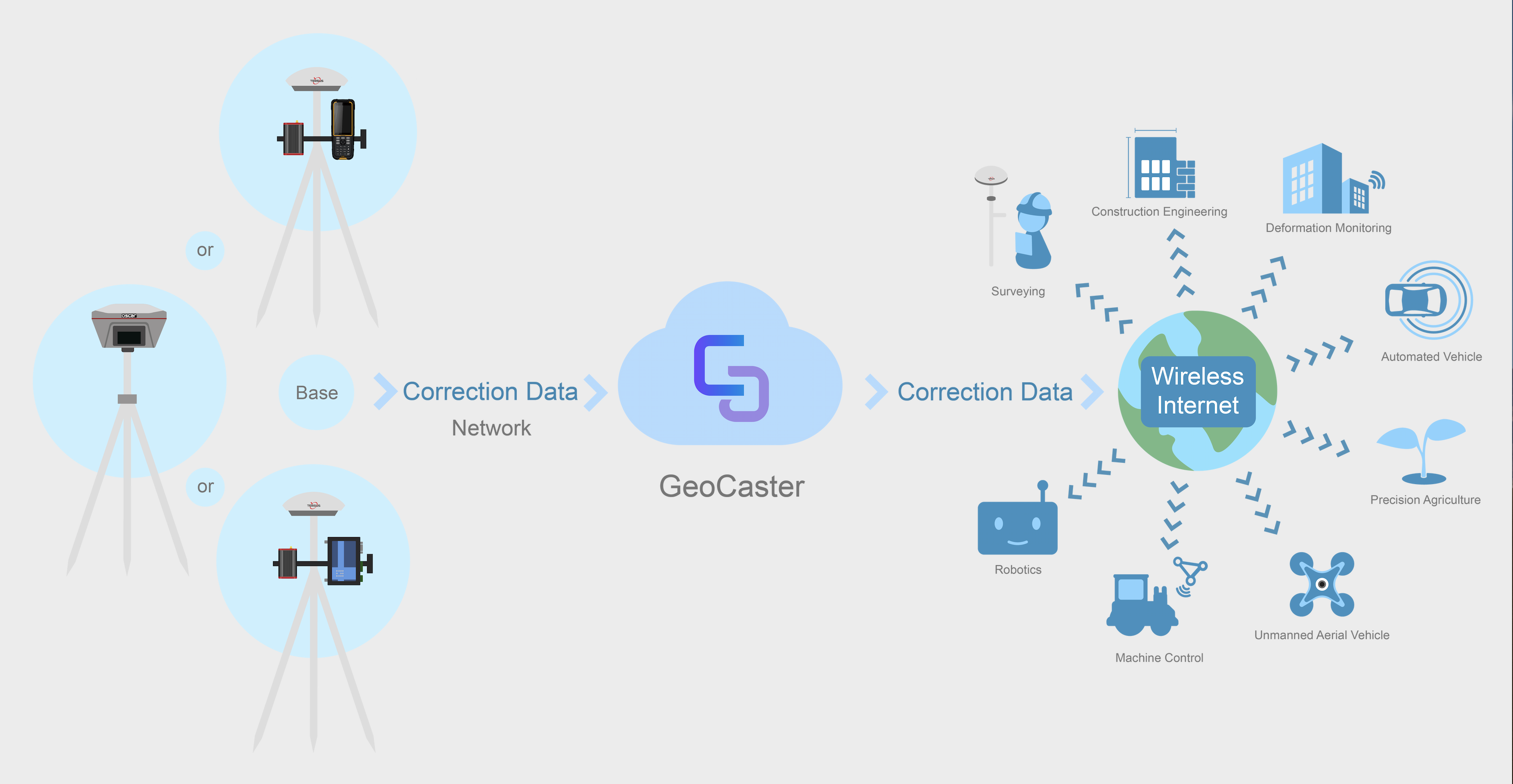
The unit, introduced at the InterGEO trade fair in Hamburg, Germany, uses Trimble’s CenterPoint RTX subscription service. The Trimble CenterPoint RTX service allows land, air, marine, and unmanned aerial vehicle (UAV) platforms to achieve centimeter-level accuracy within one hour after data collection with just an internet connection, the company said.
The new software allows UAVs to map inaccessible regions that have no existing continuously operation reference stations (CORS), without having to deploy local base units, the company said. POSPac MMS 8 also features quality control software that can be used in the field for GNSS observations to ensure accurate specifications can be met before leaving the area, the company said.
POSPac MMS 8 will be available worldwide in the fourth quarter of 2016 through the Applanix sales channel, the company said.
Trimble CenterPoint RTX, which computes centimeter-level positions based on satellite orbit and clock information, combines real-time data from a global reference station infrastructure with positioning and compression algorithms, the company said. Trimble CenterPoint RTX service is available in six or 12-month subscriptions.


