The House Energy and Commerce Subcommittee on Communications and Technology convened a wide-ranging examination of U.S. positioning, navigation and timing capabilities on June 4, drawing five witnesses across the GPS, broadcast, terrestrial and public-interest sectors to a hearing titled “Where Are We? Examining Positioning, Navigation, and Timing Capabilities in the United States.”
What emerged was a detailed picture of a system that remains the world’s gold standard for civil and military PNT—operationally reliable, economically indispensable—but one whose modernization has fallen behind the pace of threat, and whose complement architecture is now the subject of a spectrum dispute with consequences well beyond the PNT community.
This account is based on the written statements submitted to the subcommittee by the five witnesses.
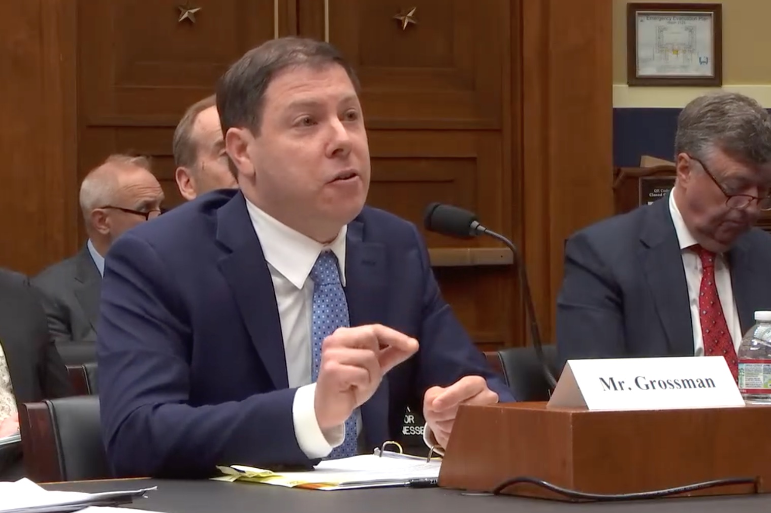
The five witnesses were Lisa Dyer, executive director of the GPS Innovation Alliance (GPSIA); Sam Matheny, chief executive of the newly launched Merkhet Solutions; Mariam Sorond, CEO and board chair of NextNav; Harold Feld, senior vice president of Public Knowledge; and J. David Grossman, vice president for policy at the Consumer Technology Association.
The constellation: strong record, narrowing margins
Dyer’s written statement provided the most technically grounded account of GPS’s current status.
The constellation has not experienced a system-wide outage since achieving full operational capability in 1995. The FAA reports GPS system availability at 99.9999 percent. Thirty-two satellites are on orbit, eight above the 24-satellite minimum required for global coverage. The Wide Area Augmentation System extends accuracy and monitors signal integrity across the National Airspace System.
Against that record, Dyer placed a more pressing set of facts. Eight of the 32 satellites are operating on a single string—one subsystem failure each from becoming non-operational. More consequentially, on April 17, 2026, the Space Force terminated the GPS Next Generation Operational Control System program, the long-delayed ground-segment effort that had run more than a decade behind schedule and triggered a Nunn-McCurdy cost breach. Dyer framed the cancellation as an overdue clearing of the path for rapid modernization, and for what she described as a more deliberate integration of commercial satellite PNT data into military operations.
She also documented a capability asymmetry that the subcommittee has not previously examined at this level of specificity. GPS III satellites deliver eight times the anti-jamming protection for military users over their predecessors. GPS IIIF satellites, when fielded, will deliver 63 times. Neither generation extends those protections to civil, commercial or scientific signals. Dyer argued the civil-signal gap carries national security implications precisely because aviation, maritime and surface transportation operators—sectors that depend on civil GPS signals—provide mission-critical logistical support to the Defense Department.
GPSIA submitted formal recommendations on GPS modernization to the defense subcommittees of both Appropriations Committees and both Armed Services Committees the week of the hearing. In September 2025, the Alliance sent a letter to Secretaries Hegseth and Duffy outlining a range of whole-of-government options for addressing jamming and spoofing.
Interference: from conflict zone to domestic runway
Witnesses presented interference as a problem that has moved decisively from theoretical to operational. Sorond cited two 2022 incidents on U.S. soil: a jamming event of unknown origin that shut down a runway at Dallas–Fort Worth International Airport and disrupted roughly 40 miles of airspace for nearly two days, and a separate unauthorized transmitter that interfered with GPS operations at Denver International Airport, affecting both aircraft and air traffic control. Feld’s written statement pointed to a more recent example: Russia’s jamming of the GPS systems aboard the RAF aircraft carrying UK Defense Minister John Healey as he returned from a visit to Estonia. Dyer referenced third-party data aggregating more than 55,000 reported GPS interference events in commercial aviation in 2025—a 24 percent increase over 2024—noting that while the majority occurred overseas and near active conflict zones, a portion occurred within U.S. airspace or on approaches to U.S. destinations.
Dyer was pointed on enforcement. The legal framework is not the problem—federal law already prohibits the manufacture, sale and operation of jamming equipment that interferes with authorized radio communications. In her written statement, she argued that the FCC and the Department of Transportation lack the budget and personnel to enforce those laws, coordinate a whole-of-government response, or adequately address the growing volume of incidents. She called on Congress to provide both agencies with the resources to meet their existing mandates.
The complement landscape: consensus on need, but not on method
Where the panel converged on the modernization and interference questions, it divided sharply on the path to a resilient complementary architecture.
Matheny testified on behalf of Merkhet Solutions, an independent company launched June 2 to commercialize the Broadcast Positioning System (BPS), a terrestrial PNT technology developed at the National Association of Broadcasters starting in 2021. BPS embeds timing and tower-location data within ATSC 3.0 transmission signals. A single tower provides traceable time; multiple towers enable positioning by the same multilateration geometry as GPS. The system requires no internet, satellite or cellular connectivity, operates on existing licensed broadcast spectrum, and supports passive, unlimited simultaneous reception.
Matheny cited a 2025 peer-reviewed NIST finding—produced under a 2024 cooperative research and development agreement—that BPS time-transfer performance is “comparable to or better than GNSS” and constitutes a “viable complementary PNT solution.” A Department of Transportation field trial with Dominion Energy, contracted in August 2025, is underway at a major East Coast substation, assessing BPS performance for grid timing applications. Merkhet currently has deployments in Washington, D.C., Baltimore and Denver. ATSC 3.0 is live in 80 markets reaching more than 75 percent of the U.S. population.
NextNav’s position was presented by Sorond. The company’s Pinnacle vertical-location service is operational in more than 4,400 cities, serves more than 90 percent of U.S. commercial buildings taller than three stories, and provides commercial Z-axis with deployments on all three national wireless carriers and FirstNet. NextNav holds more than 150 patents and describes itself as the largest license holder in the only band the FCC has designated for ground-based positioning.
The company has a petition pending before the FCC that it characterizes as a modernization of its existing licenses in the 902–928 MHz band, to support what it describes as a 5G-based horizontal PNT complement and backup to GPS, deployable on existing wireless infrastructure at no direct cost to taxpayers. The band supports a wide range of licensed and unlicensed operations — among them electronic toll collection systems such as E-ZPass, utility smart meters, home security alarms, agricultural sensors, RFID inventory systems and medical alert devices — that collectively represent decades of investment built on the FCC’s existing coexistence framework.
On the question of modernization, Feld argued that the petition does not update existing rules but asks the FCC to eliminate them—specifically, the protective conditions the Commission attached to the M-LMS licenses when it created them in 1995. That order explicitly acknowledged that Part 15 unlicensed devices had “developed and proliferated in this band and are providing services that are valuable and in the public interest,” and conditioned the new licenses on field testing to demonstrate no unacceptable interference. Feld wrote that NextNav has since “consistently requested that the FCC eliminate the rules protecting unlicensed operations in the band” rather than pursue the cooperative coexistence the 1995 order envisioned.
On the cost question, Feld wrote that the proposed transaction would exchange roughly 14 MHz of shared, low-power spectrum with a partial national footprint for 15 MHz of full-power, flexible-use national spectrum—rights that would be worth billions of dollars if acquired at auction. Feld wrote that, based on the company’s filings, PNT would occupy a small fraction of the resulting network capacity, with the remainder available for mobile carrier use. On the question of deployability, Feld wrote that the proposal would require development of new chips and new 5G standards before any commercial deployment—a process that would take years and depends on wireless carrier adoption that has not been secured.
Grossman characterized the proposal as a structural reconfiguration of the band’s operating environment, not a marginal technical adjustment, and argued that the record of innovation built on existing rules must be weighed against claims of future benefit.
The LEO tier: commercial systems advancing without Washington
Running through the hearing but never its explicit focus was the accumulating progress in commercial low Earth orbit PNT—the tier that may ultimately prove most consequential for complementary architecture.
Dyer described three U.S. companies in various stages of deployment. Iridium operates the first commercial LEO PNT system in the United States, with more than 70 partners across 25 states. TrustPoint is developing a C-band constellation designed for orbital, signal and frequency diversity relative to L-band GPS; three satellites are on orbit, four more in development, with commercial service targeted for 2027. Xona is broadcasting a new signal designed for compatibility with existing GPS receiver infrastructure, scaling manufacturing in California with six launches planned this fall. GPSIA formally recommended that Congress urge FCC approval of Xona’s pending radionavigation-satellite service license application (ICFS File No. SAT-LOA-2023-0711-00165).
Feld anchored the panel’s broader policy argument in the GPS-as-public-good framing, warning against any architecture evolution that would introduce tiered access, impose new costs on agricultural and rural users who rely on free GPS today, or allow the existing system to degrade in favor of proprietary alternatives. He called for privacy-by-design principles to be incorporated into next-generation PNT at the system level rather than addressed through post-hoc regulation.
The record as it stands
The hearing did not resolve the FCC proceedings it illuminated. Its contribution was to put the state of the U.S. PNT posture on the legislative record at a moment when three distinct tracks—GPS modernization, interference enforcement and complement architecture—are simultaneously in motion, each with its own pending proceedings and its own constituency of stakeholders whose written positions now form part of the official record.


