INTERGEO 2025 launches strengthen the navigation core of hybrid aerial mapping through tighter GNSS-INS synchronization and unified processing workflows.
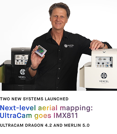
At INTERGEO 2025, Vexcel Imaging unveiled two major additions to its UltraCam portfolio—the UltraCam Dragon 4.2 and the UltraCam Merlin 5.0—alongside upgrades to its UltraNav and UltraMap software suites. Together they illustrate how precise navigation, rather than optics alone, now defines the frontier of airborne mapping.
Hybrid Imaging Built on a GNSS Core
The UltraCam Dragon 4.2 introduces a fully hybrid sensor concept that merges photogrammetry and LiDAR within a single housing. The system integrates a RIEGL 2.4 MHz airborne LiDAR module with Vexcel’s large-format imaging array, synchronized through a tightly coupled GNSS-INS navigation unit derived from the company’s UltraNav architecture. The coupling allows direct, centimeter-level co-registration between imagery and point-cloud data during flight, reducing the need for post-mission alignment and minimizing cumulative georeferencing error across long corridors.
For large-area mapping and national orthophoto programs, Vexcel also presented the UltraCam Merlin 5.0, its next-generation high-altitude camera. The Merlin features enhanced exposure synchronization linked directly to UltraNav’s multi-constellation receiver set, which now supports GPS, Galileo, BeiDou, and GLONASS in both real-time PPP and post-processed PPK modes. The integration improves absolute positioning accuracy and time-tag precision, ensuring that each image frame is tied to a unified coordinate framework.
Software as Navigation Infrastructure
Complementing the new hardware, UltraNav 3.2 introduces refined inertial-GNSS blending algorithms and a common metadata format that propagates accuracy estimates from the navigation solution through to image and LiDAR products. The updated UltraMap 7.0 platform reads this metadata directly, harmonizing mixed-sensor datasets inside a single processing pipeline. Users can monitor GNSS quality indicators—satellite geometry, multipath statistics, and estimated positional uncertainty—within the same interface used for radiometric and geometric calibration.
Toward Navigation-Defined Imaging
Vexcel positions these releases as part of a long-term shift toward navigation-defined imaging systems, where GNSS and inertial integration form the foundation of every sensor operation. By embedding the positioning engine inside the camera architecture and linking it to downstream processing, the company aims to deliver sub-decimeter accuracy without dense ground control, shortening turnaround times for both commercial and governmental mapping missions.
At INTERGEO 2025, that message resonated with a broader industry theme: the convergence of imaging, LiDAR, and navigation into unified aerial data platforms. For the GNSS community, Vexcel’s latest systems exemplify how precision positioning continues to migrate from a supporting role to the central organizing element of modern geospatial intelligence.


