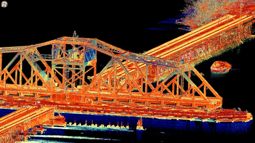
Don’t miss next week’s exciting webinar on direct georeferencing (DG) and LiDAR when moderator James Poss, Maj Gen (Ret), and an expert panel will address how combining DG with LiDAR technology small and light enough to fit onto a UAS is a breakthrough that brings with it many benefits.
Gen. Poss, CEO of ISR Ideas, an intelligence, unmanned aerial systems and cyber warfare consulting firm, will share his vast experiences in a presentation entitled “Drones with Frickin’ Laser Beams?” He’ll discuss the benefits of LiDAR, how well it works on manned aircraft, and what its potential is in terms of using with drones.
Attendees also will get great insights from fellow panelists Lewis Graham, president and chief technical officer of GeoCue Group; James Van Rens, CEO of Riegl USA, and Pierre Chaponniere, an application engineer at YellowScan.
Join Inside GNSS and Applanix for a free 90-minute web seminar on Wednesday, April 19, 2017 at 10 a.m. PT, 11 a.m. MT, 12:00 p.m. CT, 1 p.m. ET, and 18:00 UTC.
The integration of GNSS and inertial sensors in an aided-inertial navigation system (A-INS) for DG has become a powerful standard for high-accuracy airborne and mobile mapping. In addition to accuracy and precision characteristics of the data that are collected, LiDAR sensors provide efficiencies in spatial data collection as they perform DG to assign geographic coordinates to each of the data points collected by the LiDAR, without the need for surveyed ground control points, or extensive processing time. High accuracy digital surface models (DSM’s) can be generated in the matter of minutes instead of hours or days.
You won’t want to miss this exciting webinar on these evolving technologies, so make sure to join us on Wednesday, April 19, in this FREE web seminar sponsored by Applanix.
During the live event, audience members will have the opportunity to pose their own questions to the panel of experts.


