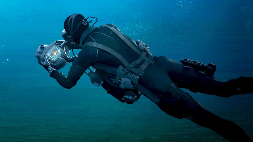
Collins Aerospace announced its Military Underwater Navigation System with M-Code (MUNS-M), a handheld diver navigation system that provides the diver with precise position and includes secure anti-jamming capabilities during deep-sea missions. This is a world first, according to the company. It provides absolute GPS position via an embedded GPS receiver when surfaced, and a GPS float receiver unit allows secure GPS position updates while the diver remains submerged. It is designed to meet the needs of military divers and to perform in demanding combat environments for special forces operators, combat divers and explosive ordnance disposal divers.
Neutrally buoyant and self-contained, it delivers diver position through the combination of dual modernized GPS engine receivers (one embedded and one detachable for floating) with the jam-resistant military M-code capability and diver-based dead reckoning systems: magnetic heading and orientation, swim heading, velocity and height above seabed and pressure sensor for depth. It also includes the Selective Availability Anti-spoofing Module (SAASM) with Y-Code and C/A-Code functionality.
 MUNS-M was developed in partnership with Blue Print Subsea, a UK-based company that manufactures a range of handheld underwater navigation products to assist search-and-rescue and locate objects on the seabed, under contract with the U.S. Department of Defense.
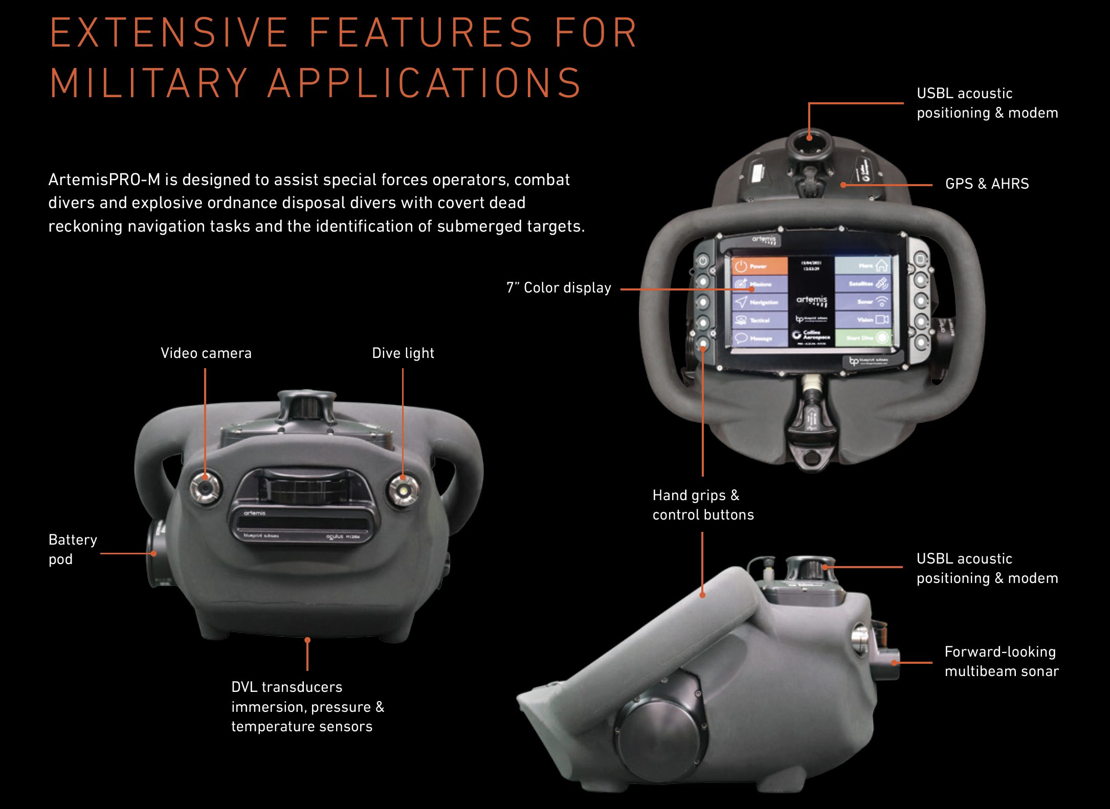
Features for military applications:
- Embedded Y-code/M-code/coarse-acquisition (YMCA) GPS Receiver and separate YMCA GPS Floating Receiver Unit. Both with L1/L2 antenna technology for absolute position fixes when either is surfaced
- Multibeam imaging sonar for real-time images in poor visibility conditions
- Attitude Heading Reference System (AHRS) sensors for magnetic heading information and orientation monitoring
- Doppler Velocity Log (DVL) to obtain navigation information from the diver’s swim heading, velocity and height above the seabed
- Integrated acoustic transponder and data modem to enable diver-to-diver and surface-to-diver text communication and positioning
- Video/still camera and dive light
- Water temperature sensor
- Pressure sensor for accurate diver depth
- Configurable autonomous data-log for post-mission analysis
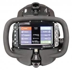
Users can quickly interpret information presented on a 7-inch color display with 10-button keypad that can switching between sonar, navigation and other data. It can be attached via lanyard to the diver, and its neutral buoyancy enables it to hang free during descent/ascent or when the diver may need to operate gas valves or other life support apparatus.
Users can create and download pre-dive mission planning files to configure navigation marker locations, such as waypoints and targets of interest, and upload and review the post-dive data collected in dive log files and display information. The swim guide status bar is always visible on the navigation display screen, regardless of the main display being shown. It provides the diver “heading to swim” directions for the selected navigation destination including pre-loaded waypoints. Divers can be tracked and communicated with in real-time from the surface and broadcast their location to other divers.
“Military divers face dangerous, complex underwater navigation objectives that require precise positioning and secure anti-jamming capabilities,” said Adam Atkins, principal account manager, Mission Systems. “Our new MUNS-M system is specifically designed to meet the needs of the military diver community and perform in demanding combat environments.”