Experts at the NATO Communications and Information (NCI) Agency have developed a software-based tool that can estimate the area where an interfering signal would degrade or deny GNSS signals, and assess the scale of the interfering signal and its potential impact on operations. Principally of interest are jamming or spoofing attacks on GPS or Galileo, of course.
The Radar Electromagnetic and Communication Coverage Tool (REACT), was sponsored by the NATO Navigation and Identification Programme of Work. It serves as a proof-of-concept of how analytical tools could support the execution of operations. The tool is also available to NATO Nations free of charge. For now, the software is only used for trial and experimentation.
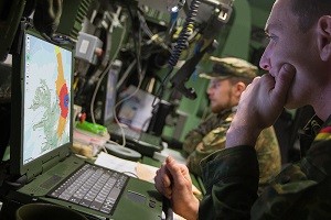
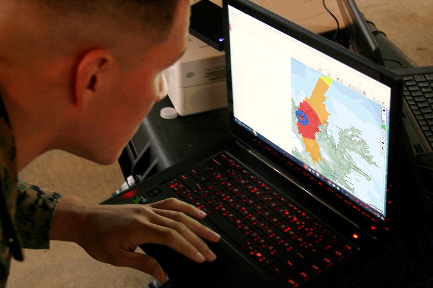
To use the software, operators input information on the particular jammers – their locations and technical characteristics — and the software produces a map of the area where the interfering signals would degrade or deny GNSS receivers. This can be displayed on the NATO Core Geographical Information System (GIS) map.
The next phase of the project focuses on ensuring the software can work on NATO classified networks, which would make it more available to operational commands to test and ensure such support measures are properly integrated into NATO operations.
The software and its estimations were demonstrated to operators during exercise Trident Jupiter 2019, part 1, to collect their feedback. The exercise gathered 3,000 military and civilian personnel as participants, evaluators and observers. Thirty NATO member and partner nations participated in nine different exercise locations across Europe.
“Ten consecutive twelve-hour working days and a relentless, ever-increasing, battle-rhythm tempo came to an end as Exercise Trident Jupiter 2019-1 (TRJU19-1) reached completion on Thursday, Nov. 14, 2019,” the agency stated.
TRJU19 was the largest and most complex exercise planned and executed by the Alliance’s Joint Warfare Centre to date. TRJU19-2 took place in March 2020.
“NATO’s adversaries have the ability to degrade or deny GPS-enabled capabilities,” said Jean-Philippe Saulay, a NATO Navigation and Identification Officer. “NATO must take appropriate measures to ensure Allied forces can operate in a degraded or denied environment.”
“NATO must maintain superiority in the electromagnetic environment, including but not limited to, positioning, navigation and timing services,” said Dr Enrico Casini, Communications and Navigation Engineer at the NCI Agency. “Situational awareness of navigation systems in a contested electromagnetic environment contributes to that superiority. NATO is enhancing its knowledge of electronic warfare technology,” Dr Casini said. “The electromagnetic environment has become even more contested in recent years. One aspect of that is interference with GNSS systems.”
Photos courtesy NATO Communications and Information Agency.

