The government of Australia recently awarded Lockheed Martin with a $1.18 billion contract to establish the Southern Positioning Augmentation Network (SouthPAN), which will enhance PNT for industries that rely on safety-of-life navigation and positioning in Australia and New Zealand.
SouthPAN will use Lockheed Martin’s Second-Generation Satellite-Based Augmentation System (SBAS), broadcasting on two frequencies to augment signals from two GNSS: the U.S.’s GPS and the European Union’s Galileo system. The network is expected to be fully operational by 2028. It will be provided as a service for 19 years with an option to extend, improving accuracy from 5 to 10 meters to within 10 centimeters.
SouthPAN is a partnership between Geoscience Australia and Toitū Te Whenua Land Information New Zealand (LINZ) under the Australia New Zealand Science, Research and Innovation Cooperation Agreement.
“SouthPAN will deliver instant enhanced precision and reliable positioning to a number of industries,” said Andre Trotter, Lockheed Martin’s VP for the Navigation Systems mission area. “We have the ability to expand this enabling technology globally, and we’re really excited about that. We already have an understanding of the benefits of second-generation SBAS, and we expect more will be realized as we bring in users and learn about new applications of the technology.”
The benefits
The second-generation SBAS augments messages for dual frequencies via multiple constellations (DFMC), using both L1 and L5 frequencies from the GPS constellation and E1 and E5a frequencies from Galileo. This enhances integrity and accuracy and eliminates reliance on just one GNSS. Industries that can take advantage of SouthPAN include aviation, agriculture, maritime, construction, mining, rail and utilities.
The Lockheed Martin team developing SouthPAN has experience with every certified SBAS currently deployed, said Bob Jackson, Lockheed Martin’s SouthPAN program manager. They looked at what has worked well with the other programs and what could be improved, and “designed a system to maximize those lessons learned.” These include the U.S.’s Wide Area Augmentation System (WAAS), the European Geostationary Navigation Overlay Service (EGNOS) and Japan’s Multi-functional Satellite Augmentation System (MSAS), all of which only augment GPS-like L1 signals.
Introducing the DFMC signal on the L5 frequency represents a huge step forward, Jackson said, as does bringing precise point positioning (PPP) signal broadcasting to the E5a signal.
“DFMC SBAS has some promising capabilities, including much more expansive coverage with fewer assets,” Jackson said. “It will also perform very well in the equatorial region, which is known to have been a constraint of legacy L1 SBAS. The introduction of PPP on E5a has some exciting medium to longer term potential applications for end users as well. They’re not only getting very precise positioning, but they’re broadcasting it on a frequency in the protected aeronautical band for safety of life applications, so that has a lot of good potential going forward.”
SouthPAN has a widely dispersed set of reference stations, Jackson said, with good accuracy and integrity because of their geometry to the GPS and Galileo satellites they’re augmenting. The team also has made improvements to the system design, simplifying and streamlining the architecture to make it more robust and the process more secure.
Second-Generation SBAS will be optimized as more E5a and L5-capable Galileo and GPS III/IIIF satellites continue to enhance those constellations.
How it works
The second generation SBAS receives and monitors basic signals from multiple GNSS through widely distributed reference stations. The data is collected by a SBAS testbed master station that computes corrections and integrity bounds for each signal and then generates augmentation messages.
Those messages are sent to an SBAS payload hosted on an Inmarsat geostationary Earth orbit satellite via an uplink antenna in Uralla, New South Wales. The Inmarsat satellite rebroadcasts the augmentation messages with the corrections and integrity data to end users’ GNSS receivers. And it all happens in less than 6 seconds.
In partnership with Geoscience Australia, a variety of demos and trials of various capabilities were conducted through a testbed between 2017 and 2020, Jackson said, providing the governments with “the information and confidence they needed to go forward with the operational system.”
For example, an autonomous vehicle was configured to drive around a test track and demonstrate the navigation of a vehicle using the SBAS signal, Jackson said. Innovative applications were also demonstrated for precision farming that go beyond applying fertilizer and crop field monitoring. One example is putting collars on cattle to manage grazing patterns in the field, enabling more efficient use of the land, reducing environmental degradation and increasing the farm’s output.
The maritime industry, as another example, is interested in the efficiency the system can bring to autonomously docking ships at port as well as maximizing ship loads for increased efficiency.
This, of course, is only the beginning, with new applications expected to emerge over time.
The future
The plan is to expand the technology globally, Trotter said, and to make it available through a service-based business model so acquisition is fast and easy. Multiple users will have access to the same system, much like GPS today, so the cost can be spread out among them, making it more affordable.
“This is an enabling technology, and all the end users will be able to innovate,” Trotter said. “That is the intent, to provide the technology and allow the art of the possible to come to fruition.”
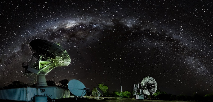
Photo credit: Michael Hull.


