Over the last few years, blockchain company GEODNET has leveled up RTK corrections, providing a low cost, reliable solution that offers the centimeter level accuracy so many need. The decentralized CORS reference network can be leveraged by both enterprise and consumer users for a variety of applications, with triple-frequency full-constellation correction signals the difference maker.
GEODNET has democratized RTK and is now the largest provider, with survey, precision agriculture, robotic lawn mowers, industrial robotics, drones and telematics among the applications benefiting from the ever growing network.
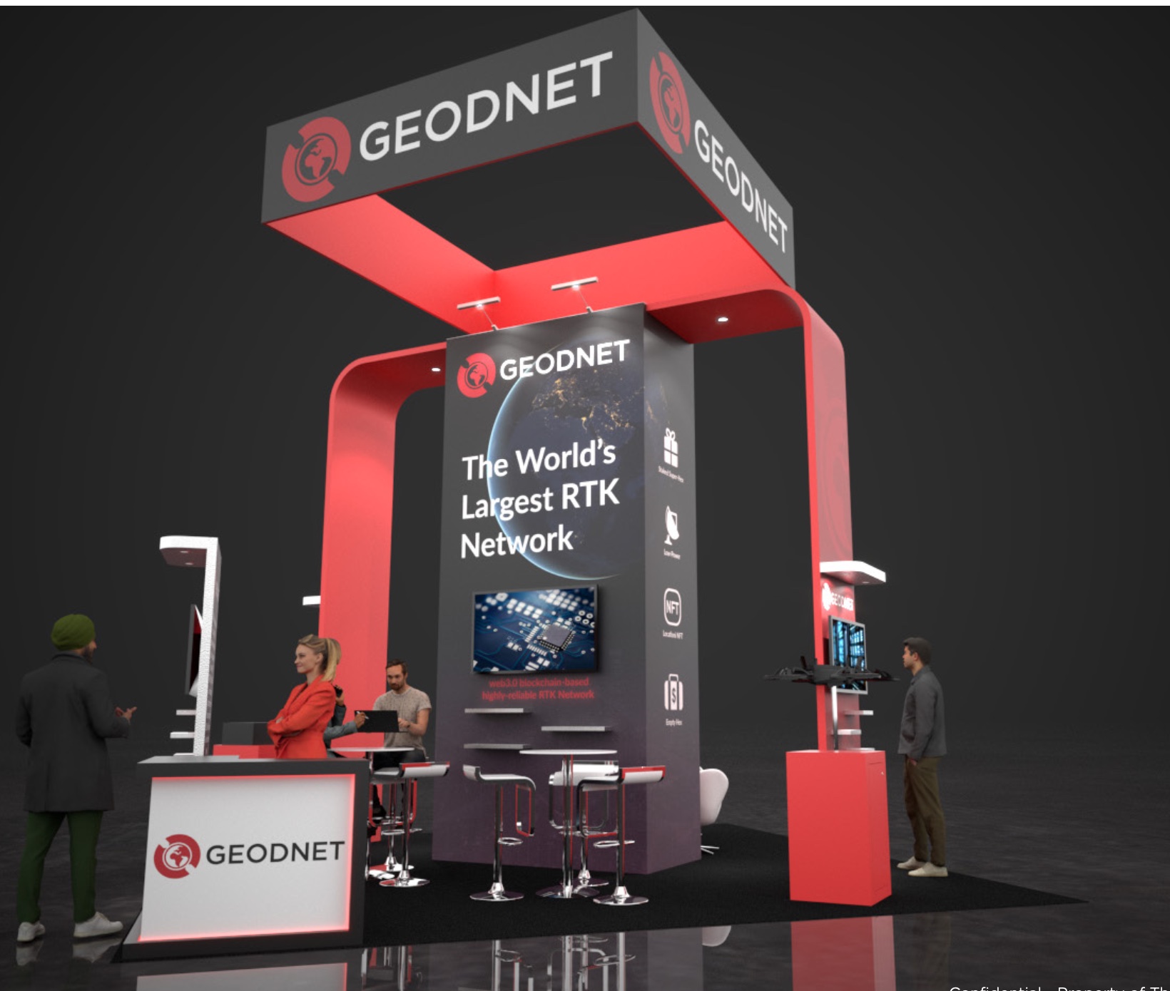
Founder Mike Horton and the GEODNET team will display various technologies leveraging GEODNET RTK corrections at CES 2025, slated for January 7 to 10 in Las Vegas, and will be available to talk to attendees about how GEODNET is changing the game. The booth location is LVCC, North Hall 10571 in the IoT pavilion along with both consumer and enterprise partners.
What makes GEODNET different
Low-cost RTK had a bit of a rough start, with reliable performance a barrier to adoption, particularly for enterprise users. At first, companies tried to offer RTK with a single band GNSS receiver. The early products that came out with L1 only, while low cost, had technical difficulties, Horton said. Why? Carrier phase ambiguity resolution, the technical process that makes centimeter level accuracy possible, isn’t very robust if you’re only using a single band receiver.
“People tried to make it work, and it did work in some cases, but it led to a lot of very unreliable experiences,” Horton said. “GEODNET, by contrast, is set up for the triple frequency, quad constellation. We’re taking advantage of all the signals that are out there now, which includes L1, L2, L5 and all the international equivalents.”
The flakiness RTK was initially known for has now been resolved, Horton said, and “GEODNET has been a huge part of that.”
The GEODNET network’s base stations track all the satellites and all the signals, Horton said, and companies have developed silicon to support them in a cost effective format.
“That changes the whole game of RTK,” Horton said, “to make it very resilient and reliable.”

Growing interest on the consumer side
Because of the availability and ubiquity of RTK coverage that GEODNET offers, that coverage is now being integrated more into new consumer products and new consumer experiences, Horton said, whether it’s via apps, robots or custom devices.
“We’re seeing a big trend toward RTK capabilities being introduced into more and more chipsets and more and more consumer facing products,” Horton said. “The cost has come down really exponentially, and that’s not an exaggeration, from just two or three years ago to where it’s at today. Even mobile handsets are shipping with dual band, L1, L5, four constellation plus GNSS receivers that really have the guts and measurement capability to support high precision applications.”
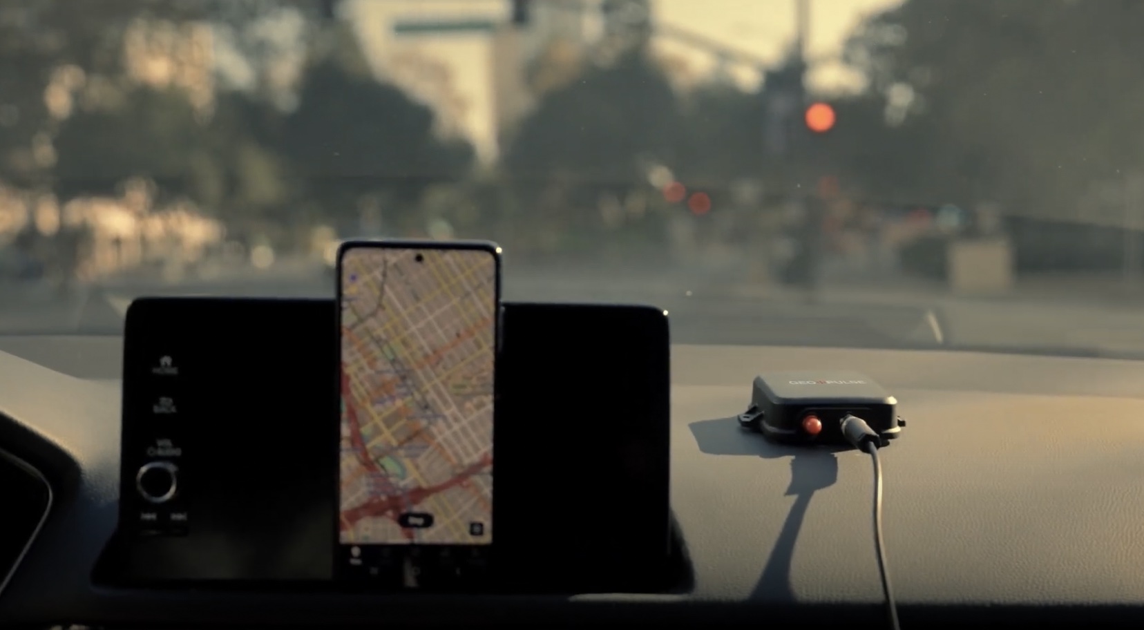
GEO-PULSE, introduced in November, is among the consumer facing products GEODNET will feature at CES. The device taps into GEODNET’s RTK network to deliver a level of positioning accuracy that drivers never have been able to achieve before.
Users can put the Garmin like GPS receiver on the roof of their car. It connects to the network via a mobile app, giving drivers centimeter level accuracy for traditional Google Maps and Apple Maps directions, Horton said. GEODNET is developing a software development kit (SDK), so users can also build new app experiences. GEO-PULSE can replace phone location, so it can be used with traditional apps like Uber as well. And it’s only $149.
“The benefit of it is better driving directions,” Horton said. “It can navigate through parking garages. It can handle downtown urban environments. It can get you lane level accuracy. It can tell you which door you’re at if you’re making a delivery. It’s really that precise location that enables a better user experience for typical driving missions.”

Horton sees the device really taking off for rideshare and mobility type services. Navigation errors can cause delivery delays for companies like DoorDash, for example, leading to cancellations and unhappy customers. GEO-PULSE provides precise navigation so drivers get exactly where they need to go, for a smaller investment than a new phone with better navigation capabilities or adding a navigation system to a car.
“If your income depends on driving every day,” Horton said, “…this is a great solution.”
The device will also make it easier for rideshare drivers to find their customers and for customers to track driver progress, alleviating the stress of wondering where your driver might be—especially as you wait in an airport parking garage where there’s multipath interference. GEO-PULSE has been tested in such environments and offers a “really nice improvement” over what a phone provides, and will also help improve time calculations on when the Uber or Lyft driver will arrive.
The dual band RTK engine offers 10 centimeter level accuracy in about half a minute, Horton said, with even better accuracy in clear skies.
“You’re actually getting centimeter level accuracy and that’s really new for customers, to have access to RTK level accuracy for their own personal car,” Horton said. “It’s not a device we would recommend to a surveyor or somebody that’s really trying to get the very best accuracy, but it’s a huge step up from what a phone or in-dash GPS does. It’s at least a factor of 10, if not a factor of 100, better in a lot of cases than what you’re going to see from your phone or car GPS. It’s next level for consumers.”
GEO-PULSE features a built-in GPS repeater capability, Horton said. Signals taken from its antenna go through a low-noise amplifier (LNA) and are repeated into the vehicle. This makes GPS more accurate on every device in the car, another benefit.
Verde.ai will also be at the CES booth, showing off its small consumer lawn mower that relies on GEODNET’s RTK corrections.
“One of the things that really gets us excited is small robots,” Horton said. “It [the lawn mower] is available for under $1,000 and it connects directly to the GEODNET network. It can map and mow your yard autonomously, all controlled by a simple iOS and Android app.”
GEODNET is also getting into the digital gaming world, starting with an Animoca Brands partnership. The large Web 3 gaming company is interested in location based gaming, Horton said, where trusted location is paramount. The partnership will advance mixed-reality gaming and immersive experiences. Animoca Brands also invested in GEODNET to support its growth within the Decentralized Physical Infrastructure Network (DePIN) community.
RTK for Enterprise Customers
While the consumer space is growing rapidly, GEODNET’s RTK network also has an important place for enterprise users. For example, the company just announced a partnership with Burro, a leader in agricultural robotics. GEODNET’s RTK GPS technology will be integrated into Burro’s robots, designed for autonomous material transport across agricultural environments like nurseries, fields and farms.
The robots leverage advanced AI, computer vision and LiDAR technology to execute tasks with precision. GEODNET will provide RTK corrections and base stations for greater navigation accuracy and operational efficiency in regions without GPS coverage. Being able to quickly deploy base stations is also a benefit, allowing Burro’s customers to quickly scale.
“By integrating GEODNET’s RTK technology, we’re not only ensuring precision and reliability for Burro’s robots but also advancing the accessibility of high-performance GPS for the agricultural sector,” Horton said. “This partnership underscores our commitment to enabling transformative applications of GPS technology.”
WISPR, a U.S. based drone manufacturer, also uses GEODNET RTK corrections, and will be at the company’s CES booth in January. The company focuses on drone survey, inspections, photogrammetry and drone LiDAR, among other applications. RTK corrections just make sense for drones, allowing the systems to quickly and accurately collect data while also helping them better understand the environment around them for obstacle avoidance.
RTK for everyone
GEODNET is now the largest RTK corrections provider, and will only continue to grow as its technology is integrated into both consumer and enterprise solutions. RTK is no longer bespoke; anyone can access centimeter level accuracy via the GEODNET network.
To learn more about GEODNET, stop by the booth during CES. You’ll find the booth at LVCC, North Hall 10571 in the IoT pavilion.

