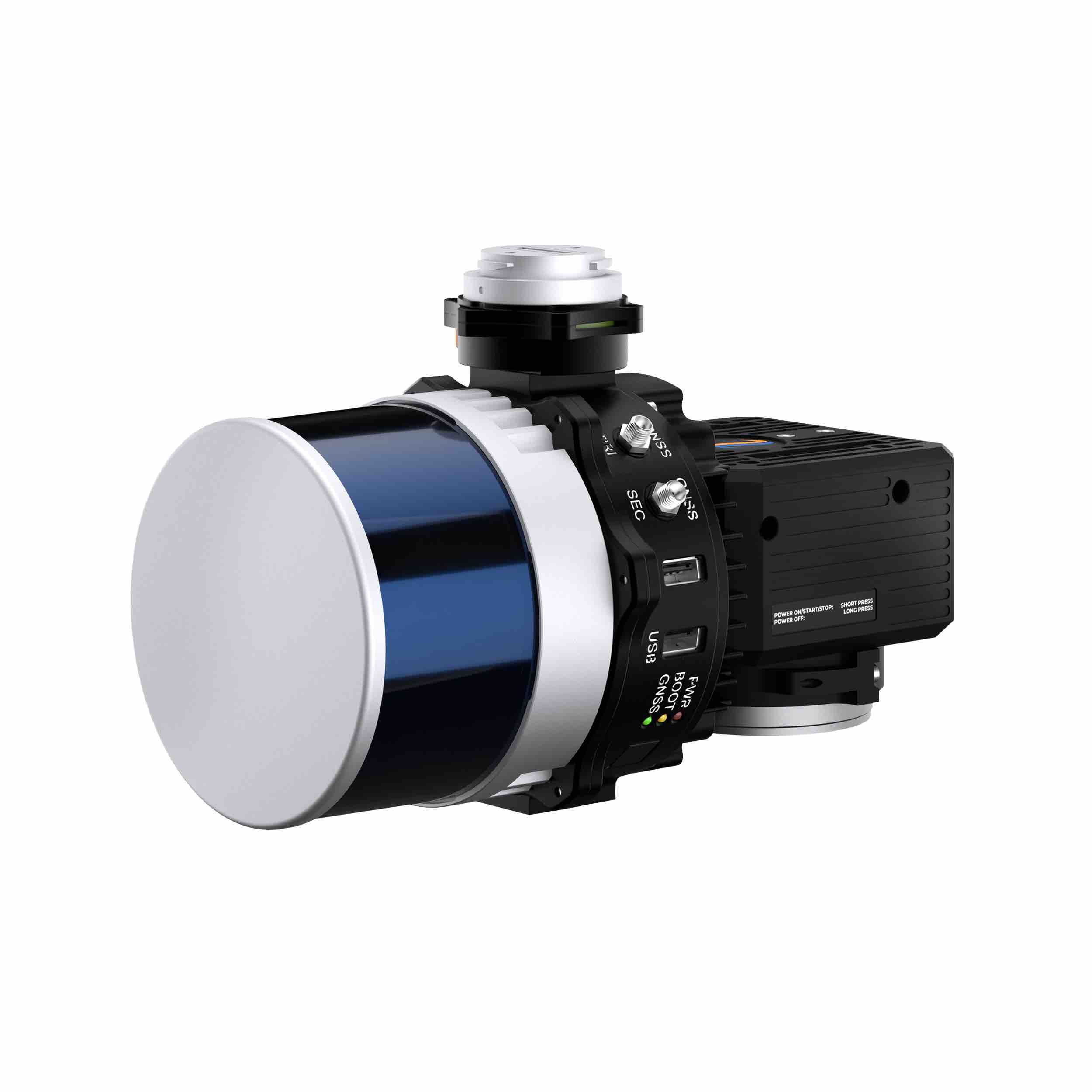
Inertial Labs has announced the integration of its RESEPI LIDAR solution into the high-performance unmanned aerial vehicles (UAVs) manufactured by ideaForge. This collaboration aims to advance UAV-based LIDAR mapping, providing industries with an enhanced, highly accurate, and reliable solution.
The respective teams at Inertial Labs and ideaForge have worked together to integrate Inertial Labs’ precise LIDAR payloads with ideaForge’s advanced UAV technology. Potential industry applications include mining, forestry, GIS and land surveys, and water resources management.
Key Specifications:
- Vertical Accuracy: 2-3 cm (0.8-1.2 in), verified by lead customers
- Precision: Maintained at 2-4 cm (0.8-1.6 in)
- Flight Height: Excels at 50-100 m (164-328 ft)
This integration enhances the capabilities of ideaForge UAVs, ensuring users receive the most accurate and reliable data for their mapping and surveying needs. “We are thrilled to partner with ideaForge to offer this enhanced LIDAR solution,” said Jamie Marraccin, CEO at Inertial Labs. “The integration allows us to provide a superior product that meets the high standards of accuracy and reliability demanded by various industries, taking UAV-based LIDAR mapping to the next level.”


")
