In the summer of 2024, France’s Center for the Study of the Biosphere from Space (CESBIO), working in collaboration with the French Space Agency (CNES) and Toulouse-based geolocation specialists M3 Systems, launched an airborne data collection campaign leveraging GNSS reflectometry to estimate forest biomass and soil moisture.
Researchers used a specially equipped Safire ATR-42 aircraft to record GNSS signals over a variety of sites in France, including agricultural areas, forests and selected bodies of water. Onboard the aircraft were three GNSS recorders, based on the Stella Record and Playback (Stella RP) solution from M3 Systems combined with CESBIO’s Global Navigation Satellite System Reflectometry Instrument (GLORI).
Hardware was selected and configured to achieve the highest high-quality recording. The setup included two antennas provided by CNES and CESBIO, one pointing towards zenith and the other towards nadir. GNSS signals were recorded simultaneously on four channels: one channel for direct, i.e. zenith, L1/E1 signals with RHCP polarization, a second channel for direct L5/E5a signals with RHCP polarization, a third channel for reflected, i.e. nadir, L5/E5a signals with RHCP polarization, and a fourth channel for reflected L5/E5a signals with LHCP polarization. Partners employed 8-bit quantization and an OCXO clock for maximum precision.
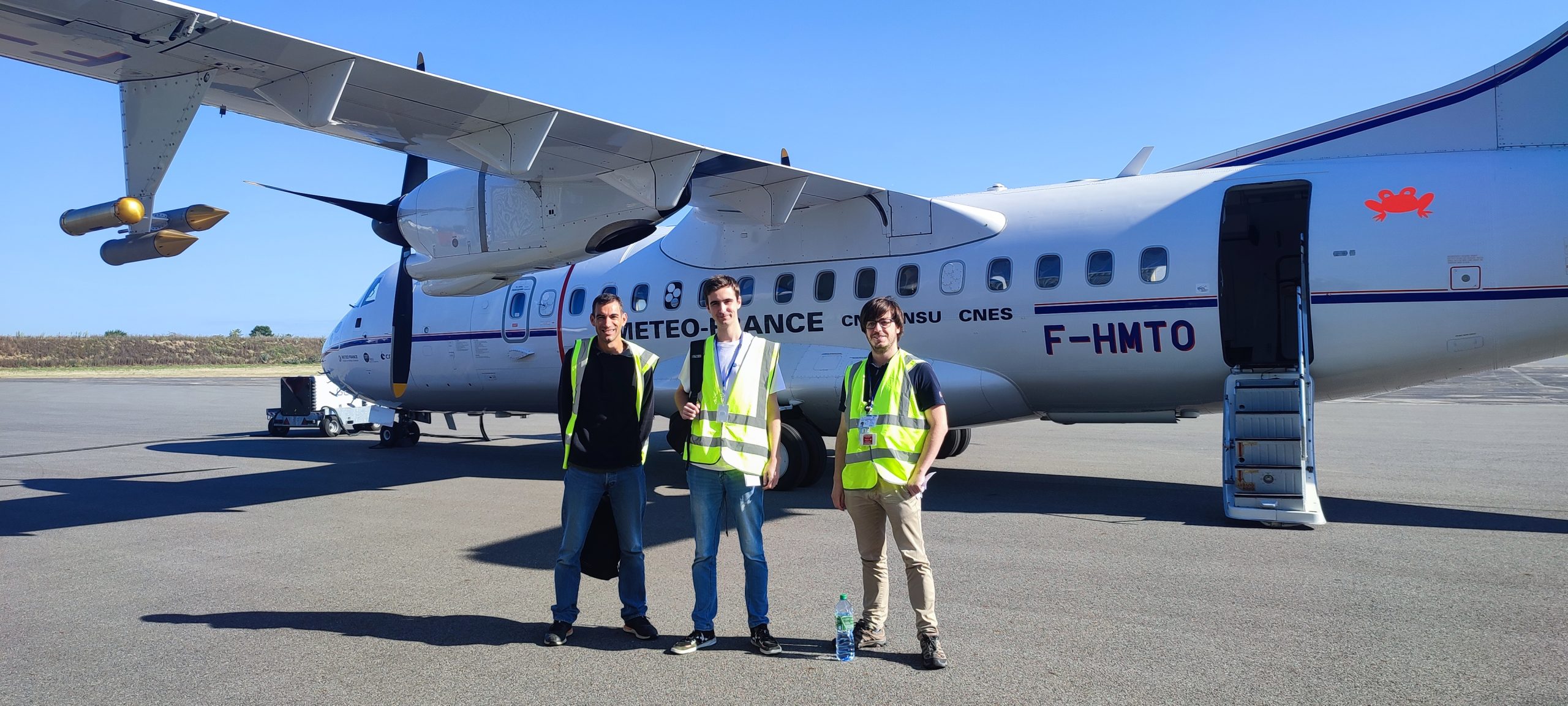
Onboard the ATR-42 during data acquisition were CESBIO’s Pascal Fanise, Carlos Davis of M3 Systems and Robin Quinart from CNES. Coincident ground-truth tests were also carried out, including determination of in-situ soil moisture levels, leaf area indices and other measures, to confirm airborne reflectometry measurements and the results of data post-processing.
Environmental applications
In addition to providing valuable insights into forest biomass and soil moisture, the study has delivered data collected over bodies of water and at sea that can potentially serve altimetric applications. Altimetric information, including wave height, can be obtained by analyzing time difference and phase difference between direct and reflected GNSS signals, a technique that has been employed successfully in a number of other environmental studies.
Over the past decade, CNES has carried out several GNSS reflectometry-based projects, highlighting the growing use of GNSS in scientific applications and particularly in environmental studies. CNES has also collaborated with M3 Systems on numerous projects since 2016. Notably, M3 Systems has developed a GNSS software receiver with specific reflectometry capabilities for CNES. Closing the circle, CESBIO has had occasion to deploy said M3 Systems GNSS software receiver through its collaboration with CNES.


