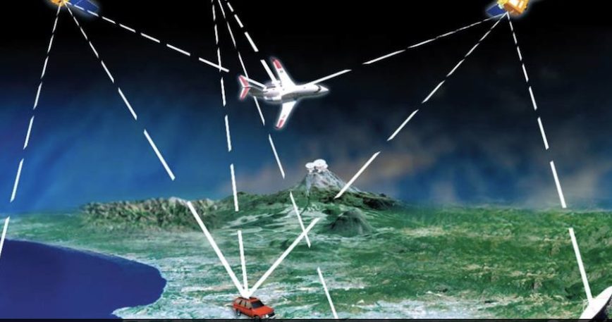
The Department of Transportation (DOT) submitted its “National Timing Resilience and Security Act: Roadmap to Implementation” report to Congress in mid-January. Following a competitive application process, demonstrations and review of 11 candidate technologies to back up GPS capabilities, the DOT concluded that “none of the systems can universally backup the positioning and navigations capabilities provided byGPS and its augmentations.” However, “all vendors demonstrated some PNT performance of value, but only one vendor, NextNav, demonstrated in all applicable use case scenarios.”
Nevertheless, the 457-page report called for several technologies to be combined or teamed to best combat GPS vulnerabilities to jamming, spoofing and other interference. “The critical infrastructure positioning and navigation requirements are so varied that function, application, and end-user specific positioning and navigation solutions are needed. This necessitates a diverse universe of positioning and navigation technologies.”
“[The] path should involve a plurality of diverse PNT technologies.”
This new universe is foreseen to encompass LEO space signals in the L-band, terrestrial broadcasts in the low frequency (LF) bands to augment NextNav’s ultra high frequency (UHF) service, and a fiber backbone to synchronize and feed precise time to terrestrial transmitters. The DOT report called for increased investment from the government in complementary PNT solutions to address GPS vulnerabilities and protect critical infrastructure in the public sector, such as telecommunications, transportation, the electric grid and financial sectors.
An earlier report from the National Institute of Science and Technology had estimated that a 24-hour GPS outage could have an impact of over $1 billion per day of economic activity in the United States, engendering the Congressionally mandated DOT study.
TerraPoiNT, NextNav’s metropolitan beacon system broadcasting on UHF frequencies, is 3GPP compliant terrestrial solution and provides a 3D PNT solution in outdoor, urban, and indoor environments. TerraPoint’s signal is more than 100,000 times stronger than GPS and has the ability to operate independently of GPS. Using a terrestrial network of transmitters and altitude stations deployed on licensed nationwide spectrum across the country, the NextNav solution was found to be accurate, resilient and secure.
“The DOT report highlights the fact that viable, market-ready PNT solutions can increase the resilience and security of location and timing services,” said Ganesh Pattabiraman, CEO of NextNav. “These solutions will play a vital role in addressing both the immediate need to secure our critical infrastructure, but will also enable modern applications such as autonomous vehicles and 5G telecommunication systems. We are thrilled that the DOT report both validates the TerraPoiNT technology and recognizes NextNav’s vision for the future of PNT.”
Other technologies tested and reviewed in the report included:
- Echo Ridge LLC and Satelles Inc. Satellite-based PNT technologies using the S and L bands, respectively.
- OPNT B.V. and Seven Solutions S.L. Fiber-optic time transfer using the White Rabbit Precision Time Protocol technology.
- TRX Systems Inc. Dead reckoning technology with inertial measurement units and localized map matching supplemented with ultra-wideband beacons.
- Hellen Systems LLC and UrsaNav. eLoran that uses LF transmissions.
- Serco Inc. Medium frequency R-mode.
- PhasorLab Inc. and Skyhook Wireless Inc. Both use Wi-Fi frequencies. Phasorlab uses a dedicated network of transmitters. Skyhook leverages existing Wi-Fi access points.


