February 10, 2012
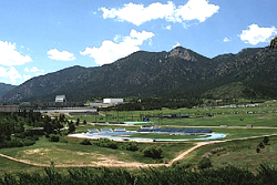
View of the United States Air Force Academy in Colorado Springs
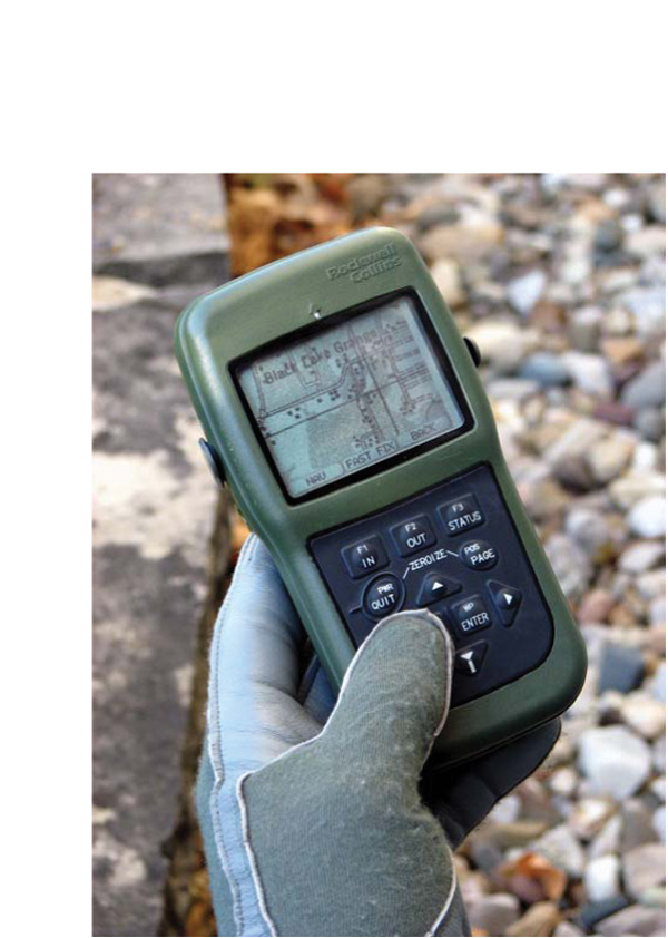
Joint Navigation Conference 2012: U.S. Military Guidance, Navigation and Control
View of the United States Air Force Academy in Colorado SpringsThe 2012 JNC – Joint Navigation Conference (Guidance, Navigation and Control) will take place from June 12 through June 15 at Crowne Plaza Hotel in Colorado Springs, Colorado.
By Inside GNSS