July 14, 2015
New QinetiQ PRS-capable receiver
New PRS-Capable GNSS Receiver Platform from QinetiQ
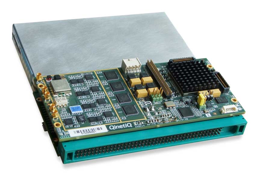
New QinetiQ PRS-capable receiverBritish manufacturer QinetiQ has today (July 14, 2015) announced its progress in developing a GNSS navigation receiver that can process encrypted Galileo Public Regulated Service (PRS) signals.
The multi‑constellation, multi‑frequency receiver is a significant step in the company’s GNSS technology development, says QinetiQ, which expects to bring to market by 2020 end-user products for navigation, tracking, and timing based on the new receiver design. That timeline parallel’s the Galileo program’s current schedule for completing its satellite constellation.