May 14, 2016
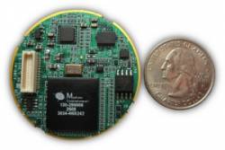
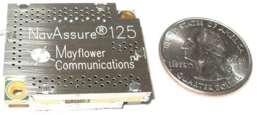 Mayflower NavAssure 125
Mayflower Receives Small GPS User Equipment Contract
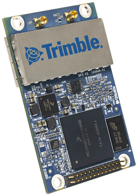
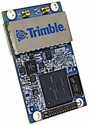
Mayflower NavAssure 125Mayflower Communications Company, Inc., has been awarded a Phase III SGUE (small GPS user equipment) contract with the United States Air Force Research Laboratory (AFRL), sponsored by the Space and Missile Systems Center/GPS Directorate (SMC/GPSD), to develop a small SWaP (size, weight, and power) security certifiable Common GPS Module (CGM) for the Air Force’s Modernized GPS User Equipment (MGUE) Program.
By Inside GNSS