Precision GPS Missile Guidance Displayed in Pacific
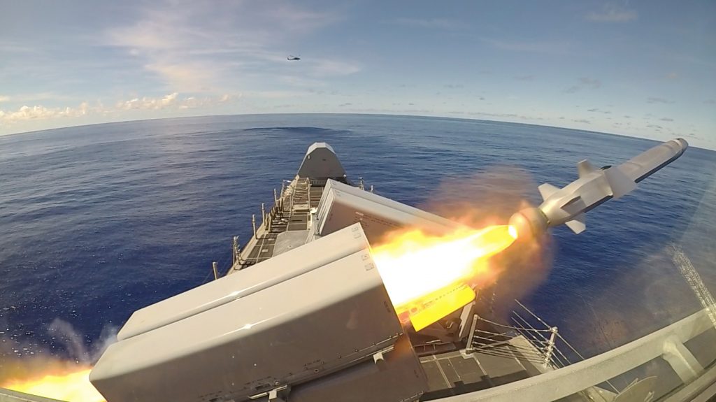
For the first time, a sophisticated GPS-guided Naval Strike Missile fired from the deck of a U.S. combat ship sailing in the Indo-Pacific region.
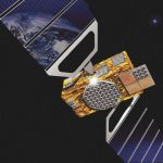
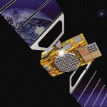
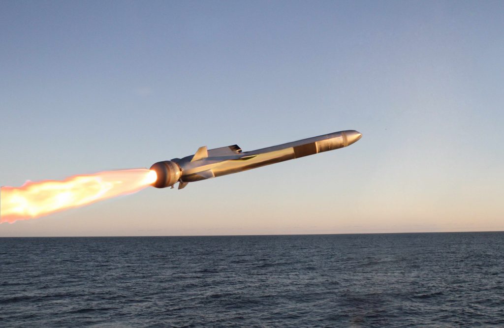
The USS Gabrielle Giffords launched the precision strike weapon, which “can find and destroy enemy ships at distances up to 100 nautical miles away,” according to a U.S. Navy statement. The NSM flies at high subsonic speed an “at sea-skimming altitude, has terrain-following capability and uses an advanced seeker for precise targeting in challenging conditions.”
The NSM can navigate by GPS, inertial and terrain reference systems. It is able to fly over and around landmasses, travel in sea skim mode, and make random avoidance maneuvers in the terminal phase. An imaging infrared (IIR) seeker and an onboard target database give NSM independent detection, recognition, and discrimination capabilities for targets at sea or on the coast. Its design and materials endow it with stealth capabilities. It weighs slightly over 400 kg (880 pounds) and has a range of at least 185 km (100 nm).
The Navy Strike Missile launch was part of exercise Pacific Griffin, in the Philippine Sea near Guam, an exercise conducted with the Singaporean navy. It marked the second time such a missile was launched, but the first time it was fired in the Indo-Pacific region, according to the Navy.
The Navy awarded Raytheon a contract in 2018 for the weapons system, developed around the missile designed by Norwegian firm Kongsberg Defence & Aerospace.
By Inside GNSS