September 18, 2024
Demystifying GNSS Corrections
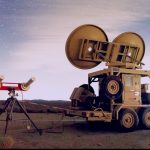
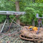
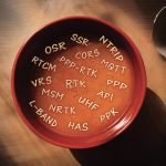
There’s a clear need for GNSS corrections, but the alphabet soup of service flavors, delivery methods and business agreements make choosing the right service seem overwhelming. We break it all down and take a look at how you can use GEODNET’s web3 Network of GNSS reference stations to manage your own GNSS corrections service.
By Inside GNSS