May 24, 2016
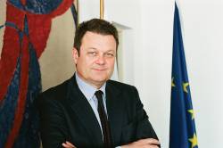
Interview: ESA’s Galileo Director Paul Verhoef
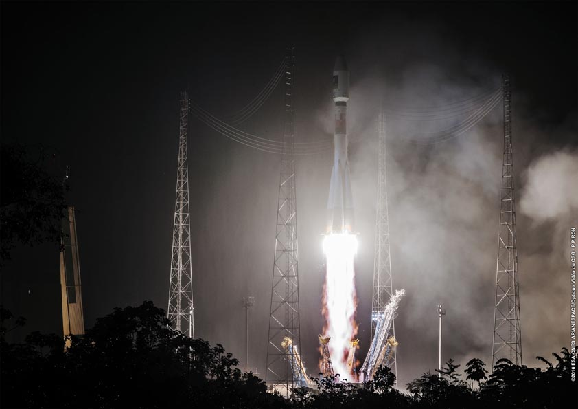
Last February, Paul Verhoef took up the directorship of ESA’s Galileo Program and Navigation-related Activities, and he hasn’t had time to look back since. The successful launch on May 25 2016 of two more satellites is just one of many milestones stretching ahead of him.
By Inside GNSS