GPS

March 16, 2011

Trimble to Acquire Fugro’s OmniSTAR DGPS Service

Omnistar DGPS world map

Trimble announced on March 16 that it has entered into a definitive agreement to acquire certain assets related to the OmniSTAR GNSS signal corrections business from Fugro N.V.

The acquisition is expected to significantly expand Trimble’s worldwide ability to provide correction services for a broad range of land-based applications in addition to OmniSTAR’s current focus in agriculture. Fugro’s offshore marine business is unaffected.

Read More >

By Inside GNSS

EGNOS Activates Safety of Life Service

EGNOS-equipped cockpit

On March 2, ESSP (the European Satellite Services Provider) declared the safety-of-life (SoL) signal from the European Geostationary Navigation Overlay Service (EGNOS) officially available for use by aviation, following European Commission (EC) authorization to provide the service.

Similar to the U.S. Federal Aviation (FAA) Administration’s Wide Area Augmentation System (WAAS), EGNOS transmits real-time corrections to GPS signals over a large expanse of Europe and north Africa.

Read More >

By Inside GNSS
[uam_ad id="183541"]
March 15, 2011

Lockheed’s GPS III Team completes Key Flight Software Milestone

GPS III satellite. Lockheed Martin illustration

Lockheed Martin announced today (March 15, 2011) that the team it leads in developing the U.S. Air Force’s next-generation GPS III satellites has successfully completed the program’s first major flight-software integration milestone at the company’s software integration laboratory in Newtown, Pennsylvania.

Read More >

By Inside GNSS
March 14, 2011

Japan Researchers Use GPS Permanent Array to Find Large Position Shifts From Devastating Earthquake

Based on data from Japan’s GPS Earth Observation Network System (GEONET), researchers at the Geospatial Information Authority of Japan (GSI) reported today (March 14, 2011)  that the 9.0 magnitude Tohoku earthquake on March 11 in northeast Japan caused an estimated displacement of between roughly 6 and 28 meters along two fault blocks totaling nearly 400 kilometers (248 miles).

Read More >

By Inside GNSS

The Civilian Battlefield

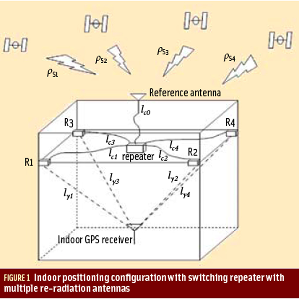
Figures 1 & 2

For the complete story, including figures, graphs, and images, please download the PDF of the article, above.

Growing dependence on GNSS for positioning, navigation, and timing (PNT) has raised a parallel concern about the potential risks of signal interference. The popular press has recently highlighted accounts of car thieves using GPS jammers, solar flares pumping out L-band radiation, and faulty television sets causing havoc to GPS receivers across an entire harbor.

Read More >

By Inside GNSS
[uam_ad id="183541"]

Registration opens for 2011 GPS Partnership Council Meeting at Los Angeles AFB

A Coast Guard search and rescue helicopter demonstrates the use of GPS technology at a previous GPS Partnership Council meeting. (Photo: Joe Juarez)

Registration is now open for the 2011 GPS Partnership Council meeting on Tuesday, May 3 and Wednesday, May 4 at the Space and Missile Systems Center (SMC) at Los Angeles Air Force Base in El Segundo, California. 

These military and industry networking meetings, now in their 11th year, are sponsored by the Los Angeles chapter of AFCEA (Armed Forces Communications Electronics Association) and the USAF GPS Directorate, formerly the GPS Wing. 

Read More >

By Inside GNSS

GlobalGEO/ International Geomatic Week

Fira de Barcelona, Monjuic venue

The GlobalGEO Fair will take place in the Monjuic Venue, Hall 6 at Fira de Barcelona exhibition center in Barcelona, Spain from March 15 to March 17. 

The fair features the latest products for GPS navigation, 3D mapping, geographic information systems, photogrammetry, teledetection, geodesics, topography, satellite navigation, intelligent transport systems and communications.

Read More >

By Inside GNSS
March 2, 2011

Beihang Authors Suggest TMBOC Design for China’s Compass B1 Civil Signal

Despite the fact that China’s rapidly developing global navigation satellite system now has seven spacecraft in orbit intermittently broadcasting test signals, it is the only GNSS provider that has not yet published a draft version of its interface control document (ICD), although one has reportedly been completed for more than a year.

Against that background, any new source of information about the directions of the Compass design — official, semi-official, or other — draws special attention.

Read More >

By Inside GNSS
IGM_e-news_subscribe