Intermap Technologies, a provider of geospatial content development and intelligence solutions, received a prime contract with the U.S. Air Force to support the Air Force Research Laboratory (AFRL) in its development of navigation solutions for GPS-denied environments.
Intermap collects, builds and utilizes global-scale and highly precise unstructured raw data, sourced from across the electromagnetic spectrum and extended to gridded or meshed 3D elevation models (DEMs).
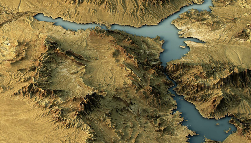
[Image above courtesy Intermap.]
AFRL will leverage this capability and extensive archive to advance its next generation of PNT systems. Under this prime contract, Intermap will provide relevant data, operational experience, applied technology, low-latency collection and processing capabilities, engineering and scientific support.
Disruptions or corruptions in GPS signals can affect timely decision making, mission security, weapons systems, operations, and critical infrastructure. AFRL leads the discovery, development and integration of affordable warfighting technologies for air, space and cyberspace forces.
“When operating in GPS-denied environments, Intermap leverages unique commercial capabilities and experience that can help the Air Force achieve desired effects where alternative navigation methods are required,” said Patrick A. Blott, Intermap Chairman and CEO. “Under this new prime contract, Intermap will work with AFRL to help them advance the next generation of navigation systems supporting multidomain operations, long-range precision fires, force protection and maneuver.”
Headquartered in Denver, Colorado, Intermap maintains proprietary 3D NEXTMap elevation datasets and a value-added geospatial collection, processing, analytics, fusion and orthorectification software and solutions. Intermap helps governments build authoritative geospatial datasets and provides solutions for base mapping, transportation, environmental monitoring, topographic mapping, disaster mitigation, smart city integration, public safety and defense. The Company’s commercial applications include aviation and UAV flight planning, flood and wildfire insurance, environmental and renewable energy planning, telecommunications, engineering, critical infrastructure monitoring, hydrology, land management, oil and gas and transportation.


