A research and development project headed by Geospatial Ventures Limited (GVL) has unveiled new artificial intelligence (AI)-based positioning, navigation and timing (PNT) user segment products for high accuracy measurements at locations of special concern.
These locations can include brownfield sites, unsafe environments like peat bogs, and new and aging infrastructure elements, where ground settlement and other perturbations can have serious consequences.
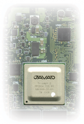
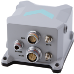
Speaking at a recent project presentation organized by the European Space Agency (ESA), GVL’s Managing Director Paul Bhatia said current solutions such as conventional PNT and RTK base stations are expensive and not well-tailored to varied applications. “AIPLAN combines a custom-built COTS [consumer off-the-shelf]-based GNSS receiver with InSAR [interferometric synthetic aperture radar] technology, fine-tuned using AI and ML [machine learning] to deliver better results,” he said. InSAR is a technique for mapping ground deformation using radar images of the Earth’s surface from orbiting satellites.
AIPLAN geodetic receivers and purpose-designed rovers collect GNSS data, while InSAR point time-series data is collected via corner reflectors and other natural reflectors. All data is uploaded to AIPLAN’s unique AI/ML system via the cloud, where pattern recognition and anomaly detection are employed to smooth errors in the data and provide algorithm training.
All points covered
The project set positioning accuracy targets of 1-5mm in plan and 2-5mm in height. Low-cost GNSS modules were used to keep overall hardware costs down. All equipment is built waterproof and rugged, to withstand deployment to challenging environments. The system is designed to provide real-time updates, with daily position reports. The developed software is easy to configure and user-friendly, accessible via mobile phone or laptop.
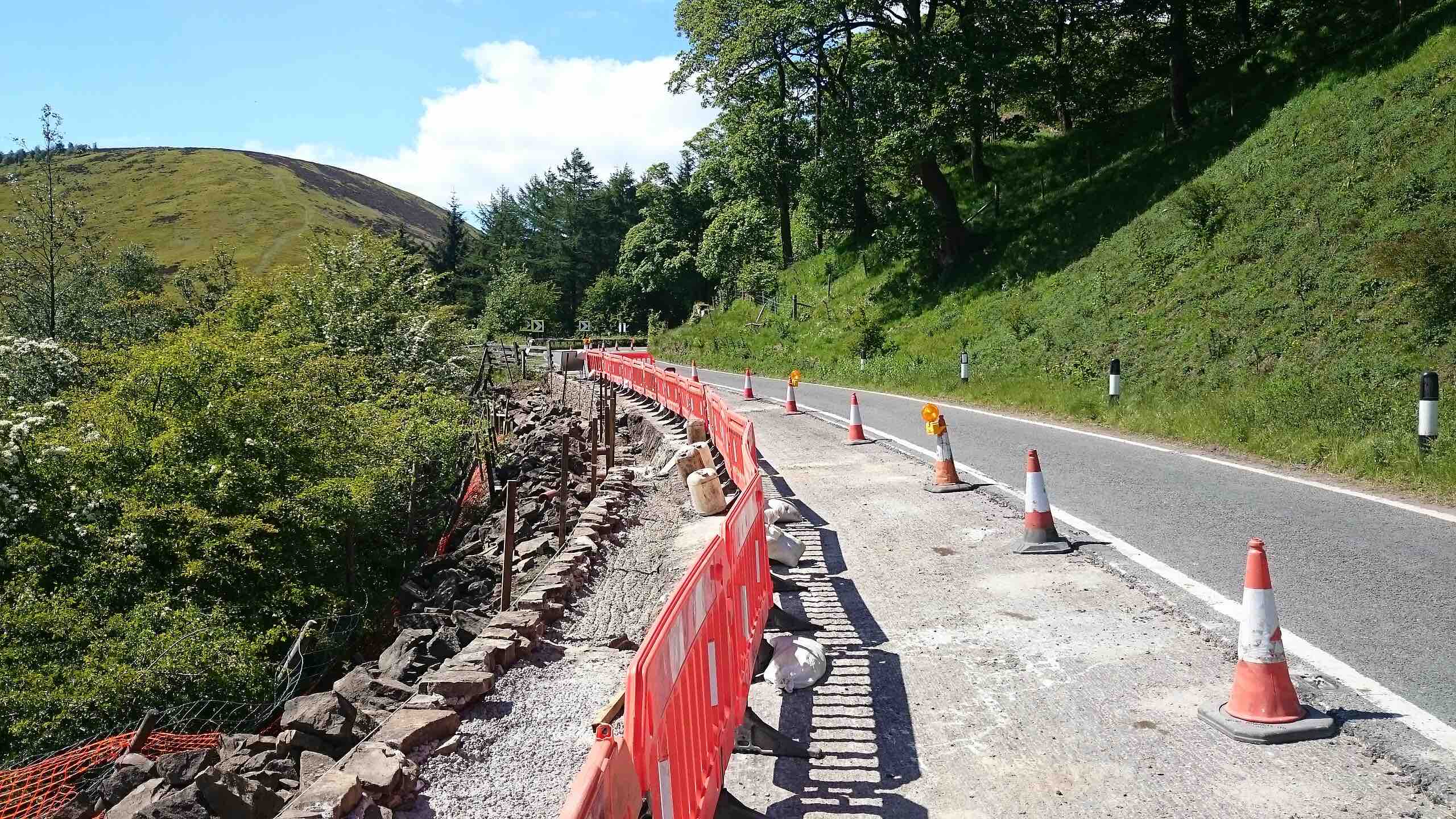
The project undertook test campaigns in a variety of settings in the UK, calibrating and assessing GNSS base-stations, rovers and dual InSAR corner reflectors at the Spen pig farm at the University of Leeds, at Snake Pass, a section of the A57 in the Peak District, opened in 1821, and at the Very Light Rail National Innovation Centre in Dudley, West Midlands.
All the results, Bhatia said, were positive. AI- and ML-based AIPLAN systems delivered a high accuracy of 3-4mm, in both horizontal and vertical position measurements, and a newly prototyped visualization suite provided valuable time-series data for the monitoring points. The new tools, he said, are suited to task and can also serve in the monitoring of a variety of geohazards such as landslides and earthquakes.
The AIPLAN project was funded by ESA’s NAVISP program, which supports competitiveness in the European PNT-related industries.


