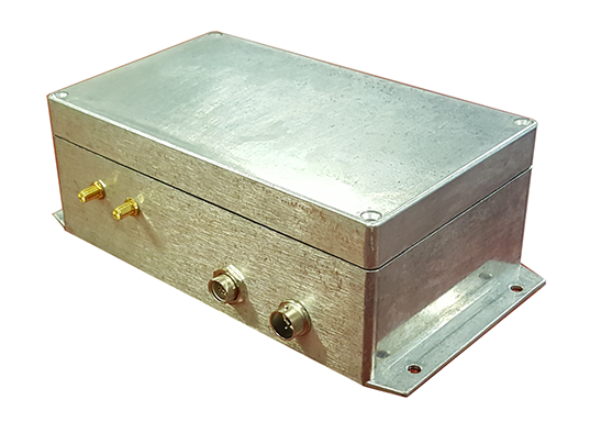
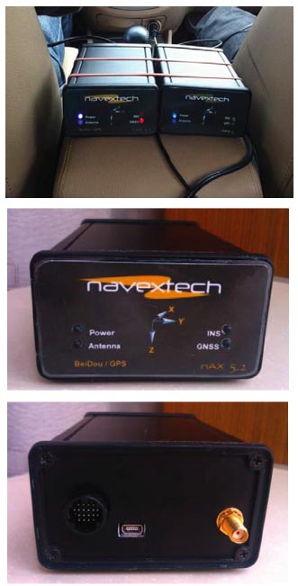
 The POLYNAV 2000 is one of the company’s integrated navigation systems. Photo: Polynesian Exploration Inc.
 Polynesian Exploration Inc., a San Jose, California navigation startup, has launched its high-accuracy navigation solution for demanding applications such as autonomous driving and UAVs.
The POLYNAV 2000 is designed to deliver high accuracy position, velocity and attitude whether the platform is static or moving. The solution features multiple satellite constellations (GPS/GLONASS/BeiDou/Galileo), multiple frequencies real time kinematic (RTK) L1 & L2, multi-antenna signal processing, tactical grade sensors, and high dynamic tolerance.
Polynesian Exploration Inc., a San Jose, California navigation startup, has launched its high-accuracy navigation solution for demanding applications such as autonomous driving and UAVs.
The POLYNAV 2000 is designed to deliver high accuracy position, velocity and attitude whether the platform is static or moving. The solution features multiple satellite constellations (GPS/GLONASS/BeiDou/Galileo), multiple frequencies real time kinematic (RTK) L1 & L2, multi-antenna signal processing, tactical grade sensors, and high dynamic tolerance.
The system is designed to fully utilize the advantages of both GNSS and inertial navigation systems (INS) to provide centimeter level position and velocity accuracy with dual frequency RTK, together with accurate attitude information (roll, pitch and heading). The system provides superior short-term stability against satellite signal outages and highly accurate heading whether the system is static or moving, according to the company. The rugged and water-proof system is ready for shipment.
Polynesian Exploration designs its navigation systems with various performances depending on user demands, which include, but not limited to, up to 400 hertz position, velocity, attitude outputs, and meters to centimeter level position accuracy. They can also be operational in all weather conditions and will be available globally. Additionally, the company can integrate special sensors for each unique application as requested by customers.


