A look at how far we’ve come, where we are today and where we’re going in the effort to protect PNT and critical infrastructure when GNSS services aren’t available.
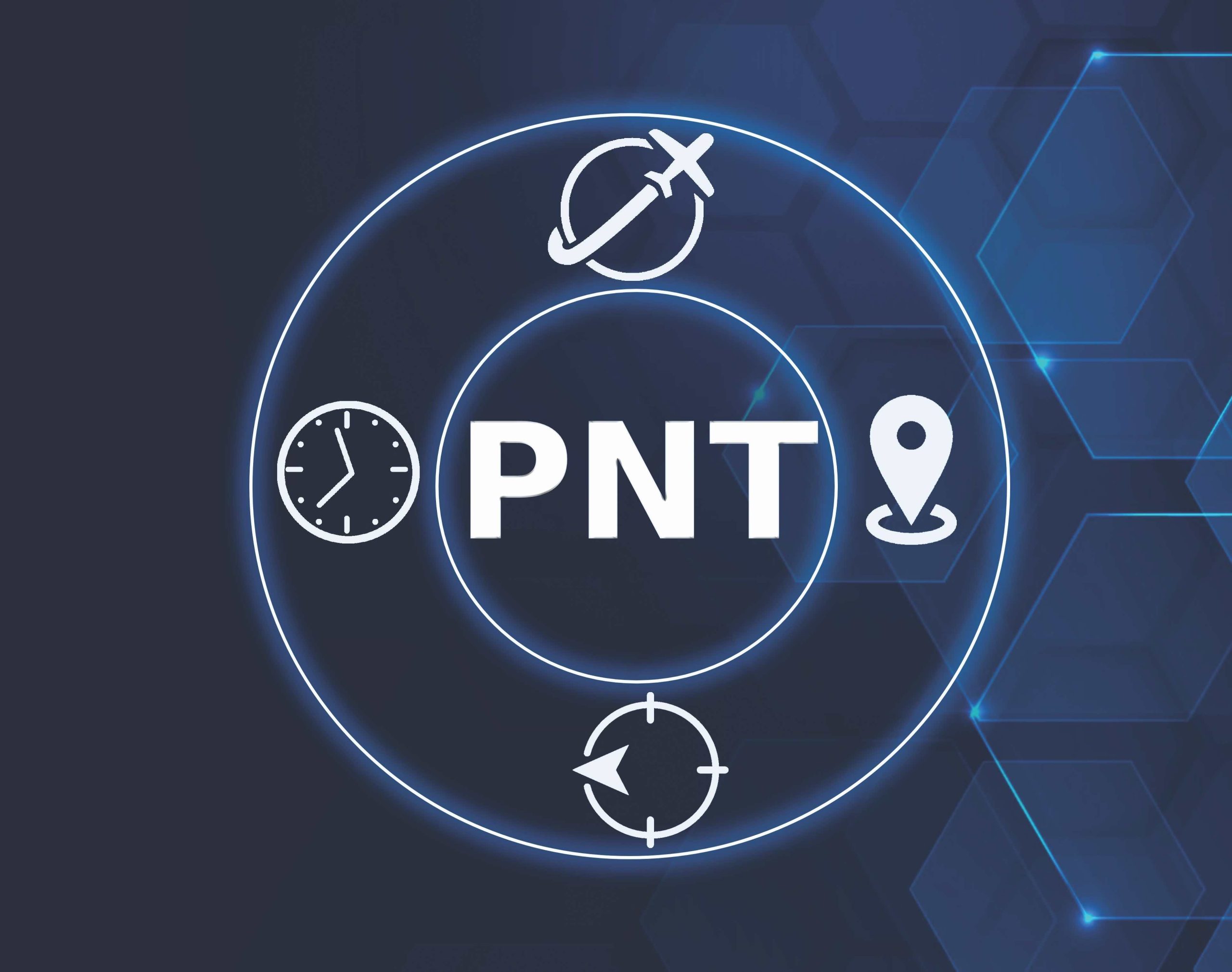
Alternative. Backup. Complementary. These words describe the global efforts to find technologies capable of fulfilling critical infrastructure requirements for positioning, navigation and timing (PNT) in the absence, degradation or disruption of GNSS services. This search has been ongoing and continues to evolve. Here, we provide a historical look back at some of the efforts in the U.S. and Europe, a snapshot of the current PNT environment and how it has influenced more recent developments in the search for resilient PNT solutions, and a glimpse into what may lie ahead in that quest.
The U.S. Leads the Charge
For years, the U.S. has been sounding the clarion call to protect, toughen and augment PNT.
The 2021 analysis prepared by the Volpe National Transportation Systems Center under the direction of the U.S. Department of Transportation (DOT) was one of the early studies charged to identify viable backups or complements to GPS.
The Volpe Report evaluated the effectiveness of 11 different technologies from various companies and organizations based on several performance characteristics (e.g., resilience, accuracy, coverage and deployment feasibility) using 14 Measures of Effectiveness (MoE), across various scenarios.
Specifically, the five timing scenarios assessed vendor systems based on four attributes: 72-Hour Bench Static Timing, Static Outdoor Timing, Static Indoor Timing, Static Basement Timing, and eLORAN Reference Station Offset. DOT also developed four positioning scenarios to assess vendor systems based on these five attributes: Dynamic Outdoor Positioning with Holds, 3D Positioning, Static Outdoor Positioning, and Static Indoor Positioning.
Volpe, however, also concluded no single alternative technology can fully replace GPS or meet all PNT requirements across its four identified critical infrastructure sectors (Transportation, Telecommunications, Energy and Space Operations). Instead, it recommended the use of a diverse portfolio of complementary technologies to enhance the nation’s critical infrastructure. It also emphasized the importance of continued research and development, the need for public-private partnerships to explore and deploy effective PNT solutions and the necessity of federal guidance and coordination to ensure the interoperability and security of alternative PNT (A-PNT) systems.
Europe Gets into Alt-PNT Game
It has been three years since the Volpe Report was published, and new technologies have emerged that were not tested. Hence, the European Commission (EC) Joint Research Centre (JRC) in Ispra, Italy, launched its own testing campaign for A-PNT, using a Call for Tender from the Directorate General for Defence Industry and Space (DEFIS). The resultant report presented the findings from this latest and extremely comprehensive European test campaign (“DEFIS Report,” officially titled “Assessing Alternative Positioning, Navigation and Timing Technologies”).
Six companies were awarded EC contracts for the test campaign: OPNT BV, Seven Solutions SL, Satelles Inc., GMV Aerospace and Defence, Locata and NextNav. The JRC used several key performance indicators (KPIs) and related performance characteristics: robustness to interference (including for GNSS frequencies, weak RF, strong RF), encryption-readiness (including for data, signal) and scalability to local, regional or continental areas.
Like the Volpe Report before it, the DEFIS Report does not specify a single “winner” among the technologies tested. Both NextNav and Satelles tech again performed well in several tests. However, studying performance Tables 1 and 2 (as published in the final JRC DEFIS Report), it’s clear Locata’s new technology appears to have been the top performer in this study. Locata was the only technology, amongst all of the PNT candidates, that delivered exemplary performance in all tested environment scenarios, and also across all tested resilience, accuracy, and deployment parameters.

Locata is a terrestrially based technology that offers high-precision positioning and timing. It uses a network of proprietary ground-based transmitters, known as LocataLites, which emit signals that a Locata receiver can use to calculate its position with high accuracy. The Locata network is novel in that its transmitters can maintain sub-nanosecond synchronization without any dependence on GPS, satellites, external corrections, or the atomic clocks relied upon by all other tested systems. This unique new capability was clearly demonstrated during the JRC tests and is documented in the final DEFIS Report. Locata specifically designed this technology to work in areas where GPS and other GNSS signals are unreliable or unavailable.
In the JRC tests, Locata’s tech displayed significant resilience, the ability to maintain operational capability in the face of challenges such as signal interference, jamming or environmental obstacles. Locata tests, conducted in both an industrial test facility in Düsseldorf, Germany, and a “multipath-rich” indoor space at the JRC facility in Ispra, assessed the positioning accuracy of Locata technology against various challenges, including those that affect resilience. The technology’s performance in these diverse environments suggests a high level of resilience, particularly in overcoming signal multipath issues common in urban and indoor environments.
Accuracy, a critical measure for any PNT technology, indicates a system’s ability to provide precise location and timing information. JRC engineers tested Locata systems to measure the precise time transfer capability and positioning accuracy. The tests included a local area component within the JRC facility and a wide area component extending outside the premises, using an outdoor “timing backbone” to also synchronize an indoor positioning network. The specific numerical results of these tests indicate a focus on validating the accuracy of Locata’s technology under different conditions.
The JRC tests also covered the practical aspects of deploying the technology on a wide scale, including infrastructure requirements, scalability and integration with existing systems. For the JRC demonstrations, Locata used its technology at a fully automated port machinery manufacturing and testing facility. The autonomous machinery at the site was used to demonstrate Locata’s centimeter-level performance in environments requiring high precision and reliability, plus its ability to integrate into complex industrial applications. Additionally, the demonstration of UTC time transfer to an indoor Locata Rover suggests the technology’s capability to integrate with global time standards, an important factor for deployment feasibility. The report confirmed that Locata’s ground-based networks provide non-GPS based, centimeter-level positioning accuracy in areas where GPS doesn’t work.
What did we learn from the Volpe and DEFIS Reports? Despite originating from different regions at different times, they share several commonalities in their findings regarding A-PNT.

Commonalities and Learnings
The commonalities of both Volpe and DEFIS reflect a global consensus on the need for resilient PNT solutions that can complement or serve as backups to GNSS. At a high level, both reports also underscore the vulnerabilities of GNSS, including susceptibility to jamming, spoofing and signal degradation in certain environments. This shared concern highlights the critical need for A-PNT solutions to ensure continuity of services for critical infrastructure and national security.
Resilience and accuracy emerged as key performance characteristics in both reports, especially in transportation and telecommunications. Both reports evaluated technologies for their ability to provide reliable and precise PNT information, even in challenging conditions where GNSS signals are compromised.
From these demonstrations, Locata, NextNav and Satelles seemed to be the top contenders. At the same time, both reports concluded that no single A-PNT technology can fully replace GNSS across all applications and sectors. Instead, they advocated for a diverse portfolio of technologies in a system-of-systems integration to serve different needs and environments in a layered approach.
The two reports also converged on the needs for further R&D, supportive public-private partnerships and policy frameworks to enhance the resilience of PNT services worldwide.
With regard to the ongoing need for R&D, they focused on the requirement to enhance the performance, scalability and cost-effectiveness of A-PNT technologies and emphasized the importance of innovation and testing to identify viable solutions that can be deployed at scale. This specific point seems to be at the core of the U.S. Department of Transport Critical National Infrastructure tests.
Finally, they agreed that on the policy front, considerations for interoperability, standardization and security will ensure these technologies can be effectively implemented within existing infrastructure.
Since the publication of the DEFIS and Volpe Reports, several global events have highlighted the vulnerabilities of relying solely on GNSS and have validated the need for real solutions now.

The Evolving Threat Picture
In the past few years, the world has witnessed a ramp up in cybersecurity threats, geopolitical tensions, natural disasters, space weather events and climate change as well as technological advancements that come with their own new vulnerabilities. All of these underscore the increasing importance of resilient PNT systems and robust alternative solutions.
Cybersecurity threats, including more sophisticated cyber-attacks on critical infrastructure, have risen in number. Attacks on energy grids, transportation networks and government databases have shown how vulnerabilities in digital and communication networks can be exploited. For example, the energy grid, both in the U.S. and globally, faces numerous virtual (cyber) weak spots that can lead to disruptions in power supply and everyday life unless alternative solutions can shore them up.
Escalating geopolitical tensions involving major powers have led to additional concerns over the security of satellite navigation systems. Instances of GPS signal jamming and spoofing in conflict zones, such as Russia-Ukraine, have extended to nearby regions.
Add to this the increasing frequency and severity of natural disasters, driven by climate change, which pose significant risks to GNSS infrastructure. Hurricanes, wildfires and earthquakes have been known to damage satellite ground stations and other critical infrastructure. A-PNT technologies can ensure continuous operations during and after such events.
Significant space weather events, such as solar flares and geomagnetic storms, have the potential to disrupt satellite operations. If a strong solar flare interferes with satellite communications, this could lead to reduced accuracy or a complete loss of positioning and timing data. This risk underlines the importance of having terrestrial and non-satellite-based systems as viable PNT alternatives.
Finally, technology continues to advance and with it, new vulnerabilities have emerged. The expansion of 5G networks and the Internet of Things (IoT) increases our dependency on precise and reliable timing, predominantly provided today by GNSS. Any disruption in GNSS services could have cascading effects on everything from urban transportation to critical health care services. This interconnectedness highlights the need for diversified PNT solutions to provide independent backup in the event of GNSS failures.
These events collectively illustrate the growing imperative for countries and industries to invest in and develop resilient PNT systems that can ensure continuity and reliability of critical services in the face of diverse and evolving threats. As the need for robust A-PNT solutions has become more critical than ever to safeguard national security, economic stability and public safety, other countries have jumped on the A-PNT bandwagon—notable among these, the United Kingdom (UK).
The UK Launched Its Own Initiative
In response to the growing recognition of the vulnerabilities faced by space-based PNT assets, particularly arising from nearby geopolitical tensions, the UK launched a comprehensive strategy to enhance the resilience and innovation of its PNT services.
Key components of the UK’s PNT strategy included: development of a cross-government crisis plan to ensure immediate short-term preparedness for scenarios where services become unavailable; creation of a National Timing Centre to provide resilient, terrestrial, sovereign and high-quality timing services across the UK; a PNT Growth Policy emphasizing R&D programs, standards and testing activities across various sectors; and a Contextual Complementary PNT (CPNT) Framework to dovetail off work from the JRC and DOT.
In support of this strategy, the UK Research and Innovation Council unveiled a Strategic Priorities Fund. The UK National Timing Centre currently spearheads this 5-year £36 million initiative dedicated to ensuring reliable Time and Frequency services across the UK. It has three main objectives: establish a Resilient Enhanced Time Scale Infrastructure; financial support to the UK industry through Innovate UK; and offering specialized training programs for experts, postgraduates and apprentices.
Specifically, to enhance the nation’s timing resilience, the initiative plans to broaden the network of sites generating time by providing atomic clock backups to ensure users have access to UTC(k) traceable time (think: network of resilient, distributed atomic clocks throughout the UK). This Resilience Enhanced Time Service (RETS) infrastructure includes four sites designed to operate independently of GNSS.
As the UK continues to ramp up its timing efforts, so too does the USDOT’s effort to develop and implement CPNT technologies.
DOT Ramped Up Its Search
Over the past year, in what can only be characterized as an intensification of effort, the USDOT issued both a Request for Information (RFI) and a subsequent Request for Quotes (RFQ).
The RFI clearly indicated the DOT primarily seeks high Technology Readiness Level (TRL) non-space-based alternatives that can offer accuracy, integrity and resilience under adverse GNSS conditions. It specified stringent requirements for the tech it seeks, including accuracy and integrity in the face of signal disruptions, reliability to withstand a variety of signal threats, and stringent security practices consistent with national cybersecurity frameworks.
In our recent interview with the Office of the Assistant Secretary for Research (DOT/OST-R) Director for the Office of Positioning, Navigation and Timing & Spectrum Management Karen Van Dyke on the follow-on RFQ, she characterized DOT’s effort as “a two-pronged approach” focused on bolstering GPS as well as finding “gap fillers,” to step up if GPS becomes unavailable.
At the Assured PNT Summit Conference in Washington D.C. in late May, Van Dyke announced that the DOT hoped to award contracts to the CPNT candidates selected by the U.S. Government for Critical National Infrastructure testing sometime in June, and they did.
No One Size Fits All
One thing is for sure, whether in the U.S., EU or UK, there will be no one size fits all solution for A-PNT | CPNT because the relevant critical infrastructure sectors each have their own specific operational requirements and challenges that make certain A-PNT technologies more suitable than others. What we’ve seen, based on the demonstrations so far, is some tech works for some applications and arguably, some of that tech could work across all.
Together, these technologies could provide the necessary resilience, accuracy and security to support the critical infrastructure sectors identified in the Volpe and DEFIS Reports. In the meantime, all we can do is continue to wait and see what developments will continue to occur both in the U.S. and across the pond, in the search for A-PNT and CPNT solutions that will protect our security, economy and daily lives.


