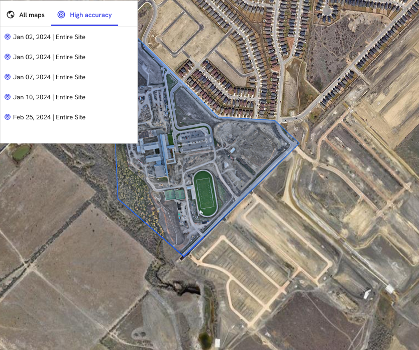
On February 12, 2024, in Denver, during Geo Week, Trimble announced the integration of its Applanix POSPac CloudⓇ PPK GNSS positioning service into DroneDeploy’s drone mapping and data collection platform. This collaboration aims to improve the precision of drone-based reality capture by utilizing advanced GNSS technology for post-processed kinematic (PPK) positioning.
The Trimble service incorporates CenterPointⓇ RTX, enabling users to achieve centimeter-level accuracy in their mapping projects. This is facilitated through a cloud API that processes GNSS kinematic positions based on dual-frequency observables from drones, utilizing Trimble’s post-processed CenterPoint RTX technology.
The RTX family of correction services by Trimble offers users real-time and post-processed centimeter-level positioning accuracy globally. This capability is significant for drone mapping as it reduces the need for ground-based base stations, streamlining the operational workflow for drone operators. The system delivers corrections via satellite or cellular/IP, simplifying the mapping process efficiency for a wide range of applications.
The integration between Trimble’s GNSS technology and DroneDeploy’s platform is designed to address several challenges in drone mapping. Traditionally, achieving high-precision mapping with drones, especially in environments where GNSS signals are unreliable or obstructed, required extensive ground control setups or reliance on additional equipment like base stations. By utilizing Trimble’s RTX services, drone operators can now bypass these hurdles, enabling more straightforward and cost-effective mapping processes.
This advancement is particularly beneficial in sectors such as construction, agriculture, and geospatial surveying, where accuracy and efficiency are paramount. For example, in construction, precise mapping can aid in planning and monitoring projects, while in agriculture, it can help in optimizing land use and crop management strategies.
The use of GNSS technology in drone mapping also opens up new possibilities for conducting surveys in challenging or remote areas. By providing high-accuracy positioning without the need for ground control points in every scenario, drones can now access and map areas that were previously difficult or too costly to survey, such as dense forests, mountainous regions, or large-scale infrastructure projects.


