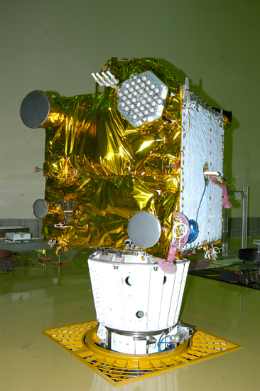
 The IRNSS-1A spacecraft. ISRO photo
India’s Space Research Organization (ISRO) reports that its first Indian Regional Navigation Satellite System satellite (IRNSS-1A), has reached geosynchronous orbit and all subsystems are operating normally.
The spacecraft was launched July 1 on board a Polar Satellite Launch Vehicle, PSLV-C22, from Satish Dhawan Space Centre, Sriharikota. This is the twenty third consecutively successful mission of PSLV.
With a mission design life of 10 years, IRNSS-1A is the first of the seven satellites that will comprise the IRNSS space segment of the Indian Regional Navigation Satellite System designed to provide positioning for India region and 1,500 kilometers (930 miles) around the Indian mainland. It will operate at 55 degrees east longitude with an inclination of 29 degrees with respect to the equator.
IRNSS will provide two types of navigation services, namely, a standard positioning service (SPS) available to all users and encrypted, restricted services (RS) provided only to authorized users. This payload will operate in the aeronautical radionavigation L5 band (1176.45 MHz) and S-band (2492.028 MHz).
The ground control segment, operated by the ISRO Navigation Center at Byalulu near Bangalore with spacecraft control facilities near Bhopal and Hassan, includes 15 range and integrity monitoring stations (RIMS). More details about the IRNSS system design can be found in this 2011 Inside GNSS article.
Completion of the entire IRNSS constellation of seven satellites is planned by 2015–16.


_ULA_lo.jpg)

