Recent moves by Estonia demonstrate the strengthening of GNSS resilience through open access, multi-constellation support and European integration.
With origins in the 1990s and now featuring multi-constellation support, the Estonian Positioning Service (ESTPOS) enables scientific research, tectonic monitoring, precision agriculture, urban planning support, signal-quality assessment and much more, fostering public-private GNSS technology adoption nationwide.
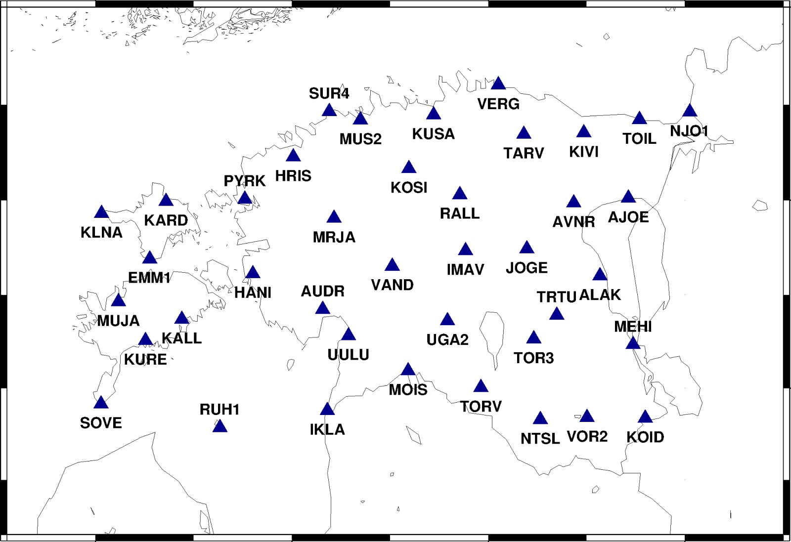
The Land and Spatial Development Board, Estonia’s national geodetic authority, has recently broadened public access to ESTPOS GNSS services, combining an expanded station backbone with extended free trial periods for core data products. Estonia’s official geospatial data platform, Geoportal, lists ESTPOS as operating a network, as of June 2025, of 40 continuously operating reference stations (CORS).
The Board has now issued directives allowing receiver independent exchange format (RINEX) and Virtual-RINEX downloads and transformation services free of charge through 2025. An RTK correction test window that began April 2025 has also been extended to the end of the year.
Important user support
The ESTPOS user manual, publicly available through the Estonian Land Board’s Geoportal, explains the practical access model: users create an ESTPOS portal account, obtain NTRIP credentials for RTK correction streams, and can access services such as RTK corrections, RINEX archives, Virtual RINEX, computation and transformation tools, and live station status.
Estonia’s approach is notable for being explicitly public-facing. By making corrections and geodetic products available for extended trial, authorities are widening the pool of testers, who can both adopt the service and report real-world edge cases. That feedback is a low-cost mechanism to harden the service while prioritizing densification of the network, and refining software and account policies.
ESTPOS is part of the EUREF Permanent Network (EUREF‑EPN), aligning Estonia’s national reference frame with Europe-wide geodetic infrastructure for interoperability and precise continental positioning. The service is crucial both nationally and regionally. For professionals who actively use GNSS services in their work, the combination of a 40-site backbone, accessible RINEX archives and an extended RTK test window offers a pragmatic path to improved horizontal and vertical positioning across Estonia’s territory.
For policy makers, the actions taken by Estonia frame GNSS infrastructure as an essential public good, one that supports economic activity, research, and national resilience while generating performance and health data and user feedback to guide next steps.


