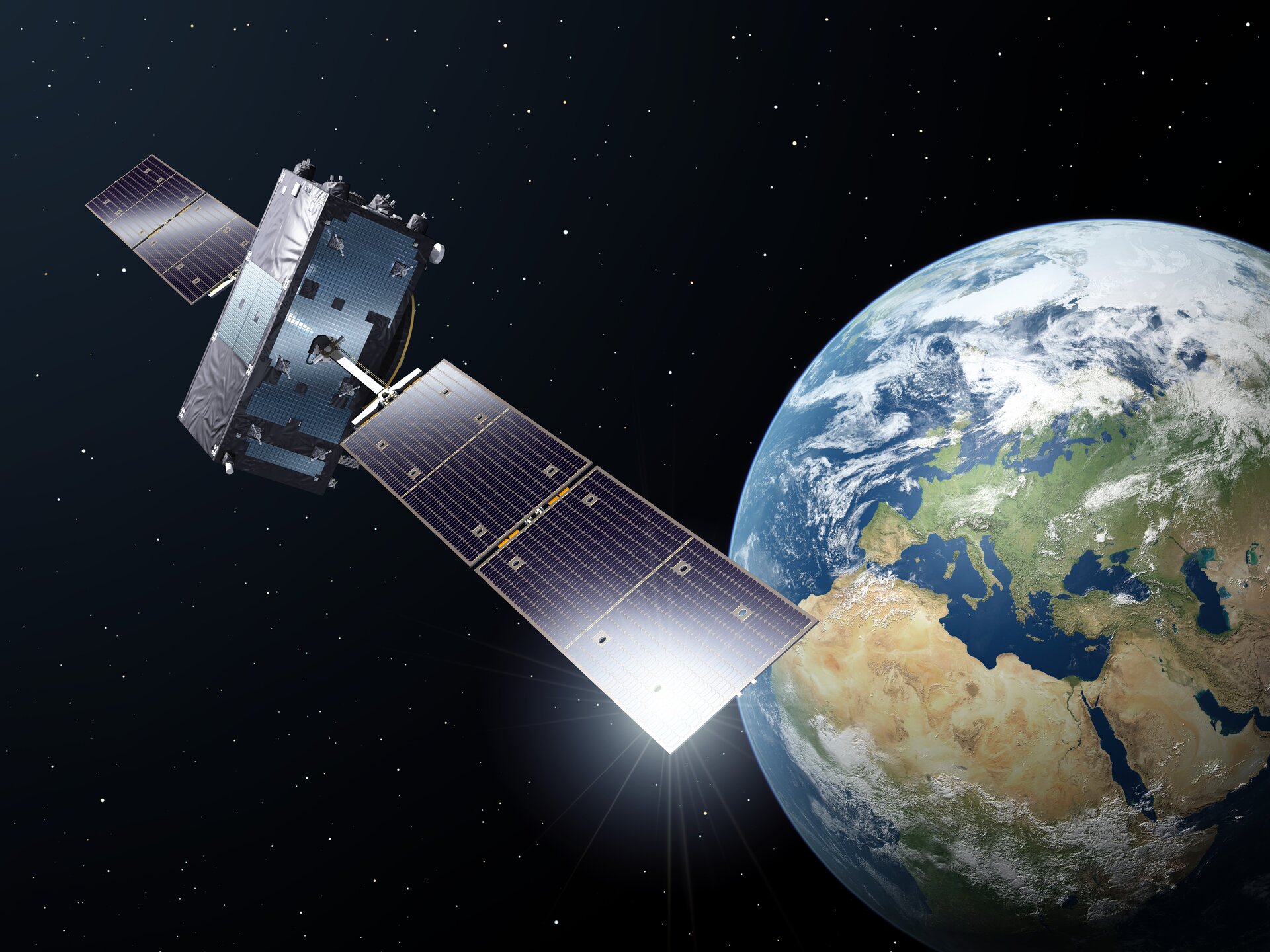
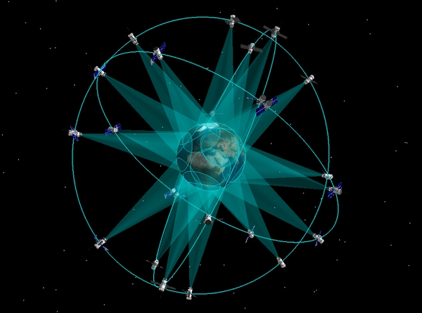
After years of studying the concept of using low-Earth orbit (LEO) navigation satellites to supplement the Galileo system, the European Space Agency (ESA) is ready to move forward with an in-orbit demonstration as part of its new FutureNAV program.
ESA will present this and other initiatives at the Ministerial Council (CM22) later this month. The goal of the LEO-PNT initiative is to build and fly an initial constellation consisting of six to 12 satellites to test capabilities and demonstrate use of new frequency bands. The demo is expected to take place in 2026.
As user applications and demand grows, standard GNSS alone is not enough. LEO-PNT will help make satnav coverage more robust and more resilient, ESA Director of Navigation Javier Benedicto said during a media briefing about the future of navigation, putting Europe ahead in this technical field.
“Extending GNSS to low Earth orbit would offer higher signal strength with more reliable indoor coverage and resistance to jamming. We can also provide two way authentication signals, which are possible over the shorter distance provided by the low Earth orbit satellites,” Benedicto said. “And by bringing it closer to Earth, LEO-PNT has the potential to make satellites cheaper and more efficient and launches more economical.”
LEO satellites provide shorter latency for communication back to the ground than traditional GNSS, another benefit. And they don’t have to rely on atomic clocks to calculate an accurate time; other methods can be used, such as relayed signals from Europe’s Galileo satellites.
While the architecture for the operational system hasn’t been determined yet, the vision is to develop a multi-layer satnav system-of-systems that may include communication capabilities, enabling more accurate and robust PNT services in the future.
“We see a growth, an evolution of the architecture of satellite navigation systems for which the current MEO-based GNSS system will play kind of the backbone role, and this will be complemented by other systems in low Earth orbit with dedicated or piggyback payloads on other satellites,” Benedicto said. “There will also be an interconnection between those layers, the medium Earth orbit layer and the low Earth orbit layer and the satellites in between. These are all things we are studying and precisely the purpose of the in-orbit demonstration.”
The program, he said, will “demonstrate to ourselves the added value of all those new technologies,” before decisions are made on the future evolution of the overall architecture for satellite navigation.
Other areas of focus
Benedicto hit on two other new initiatives during the briefing, Genesis and Moonlight, that will be presented at CM22. ESA will also seek support for a third phase of its Navigation Innovation and Support Programme (NAVISP), which works with European businesses and researchers to develop innovative solutions. It also supports Member States in national objectives.
Through Genesis, also part of FutureNAV, ESA plans to enhance Galileo’s positioning performance and to improve modeling of the Earth, Benedicto said. Genesis will precisely map the Earth’s shape using, for the first time, four satellite-based measuring methods combined onto one platform. This will reduce biases and errors to create an updated global model of the Earth, known as the International Terrestrial Reference Frame (ITRF), achieving 1 mm accuracy.
The more precise model, Benedicto said, will have a large impact on navigation and Earth science applications like land surveying and measuring seal level rise.
Going beyond Earth, Moonlight, ESA’s Lunar Communication and Navigation System, will extend satnav coverage to the Moon, Benedicto said. Based on GNSS, it will provide real-time position, velocity and time to the lunar surface and Cislunar users. With Moonlight, there will no longer be a need to rely on support from the ground, making these missions more affordable and sustainable. ESA is collaborating with NASA and JAXA on this project.
Enhancing Galileo and EGNOS
Benedicto also provided updates on Galileo and the European Geostationary Navigation Overlay Service (EGNOS). Galileo now has 28 satellites in orbit, 24 of which are operational, and provides accuracy of better than 1 meter.
The satellites in orbit now continue to perform well, Benedicto said, though 10 first gen Galileo satellites are tested, qualified and ready to fly if needed. The additional satellites can provide service resilience and will likely be deployed at the end of 2023 or the beginning of 2024.
There are now 12 second generation Galileo satellites under development with plans to procure up to 24. These all digital satellites will be deployed into space with electrical propulsion for the first time, making such deployments more affordable. They’ll also have more powerful navigation payloads with more precise atomic clocks, advanced protection mechanisms to safeguard the signals and the ability to respond to evolving user needs.
For EGNOS, the first pan-European satellite navigation system, ESA plans to develop a new generation that will combine the use of Galileo signals with GPS signals for the first time, adding accuracy and robustness of navigation for air traffic and other safety-of-life applications. This latest generation, EGNOS v3, will be introduced later this decade.
“The addition of the frequency L5, which will be incorporated into EGNOS v3, will improve service resilience and will introduce new services for other sectors such as maritime navigation and rail,” Benedicto said, “extending coverage from the European continent to link up seamlessly with other systems worldwide.”
Looking to the Future
Through various initiatives, ESA is focused on moving satnav forward and cementing Europe’s place as a leader in this field.
“We have developed the best satnav systems in the world, but we have to go beyond that,” Benedicto said in a video on the ESA website. “Our ambition at the [CM22] conference is to look into the future. We have to prepare technology and solutions to meet the expectations of our citizens …we want to continue to be leaders and our system to be used as the reference worldwide.”
Image Copyright: ESA-P. Carril


