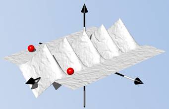
Figures: Interference Localization from Space
Return to main article: "Interference Localization from Space: Theoretical Background"
The navigation sensors for location-based services (LBS) are complex technical systems. Modern technical science can answer most questions about the optimality of particular position determination methods, signal processing algorithms, electronic circuits or similar well-defined problems, but the rigorous answer to the questions concerning the optimal LBS positioning sensor are still a big problem.
By Inside GNSSHighest altitude fix for a GPS signal, GNSS timing signals and hacking the Grid, Eagles act as drone countermeasures and rumors of a GNSS-nano-chip contributes to cash crisis in India
By Inside GNSSAmerican Election 2016 — now that was something, wasn’t it?
A national unpopularity contest. Sort of Commedia dell’arte meets Monty Python, directed by Todd Phillips, with a cameo appearance by Berlusconi.
Did we find it risible? Oh, yes, but were those tears of laughter, sorrow, or disbelief?
So, while we are collectively unpacking the meaning and nonsense from two years of political theater and telling each other our fortunes for the next four, what does it portend for GNSS?
Well, the tea leaves are a little unclear.
By Dee Ann DivisWith the Republican Party now entirely in charge of Washington’s prime policy real estate the neighborhood is going to change. The current residents are warily watching the newcomers take measurements for a major remodel of agencies, lobbying rules, national priorities, and international relationships, and everyone is assessing the implications of the new landscape.
By Dee Ann Divis
GPS seems to have come out of nowhere. There was no progression like eight-track tape to cassette to CD to MP3 player. One day we were driving around clueless of where we were, struggling with roadmaps bought as gas stations that couldn’t be folded back neatly once opened and — suddenly — there was an amiable female voice coming out of the dashboard offering directions to our destination and showing no signs of impatience when we made wrong turns.
From the author’s introduction to GPS for Everyone
Working Papers explore the technical and scientific themes that underpin GNSS programs and applications. This regular column is coordinated by Prof. Dr.-Ing. Günter Hein, head of Europe’s Galileo Operations and Evolution.
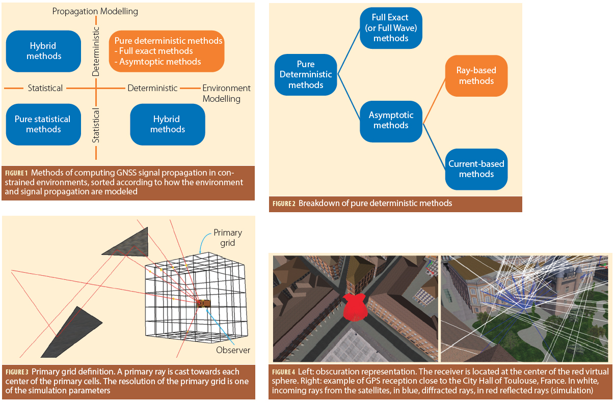
By Günter W. HeinQ: What are the challenges of ray-tracing for GNSS applications?
A: Simulating the propagation and reception of GNSS signals in complex environments is a challenging task. Indeed, the user always has to trade off between the computation time and the reliability of the output. Moreover, the motion of GNSS satellites, atmospheric effects, and building geometry are always difficult to model.
By Inside GNSSThis year India entered the club of nations operating their own satellite navigation system. The Indian Regional Navigation Satellite System (IRNSS) has a constellation of seven satellites – three in geostationary orbit and four in geosynchronous orbit — that are currently functioning satisfactorily from their designated orbital positions.
By Ingo BaumannThe advent of multiple constellations provides the opportunity to eliminate geometry weakness as a source of satellite-based augmentation system (SBAS) unavailability. GPS users occasionally encounter areas where an insufficient density of satellites exists to support all desired operations. This most often occurs when a primary slot satellite is out of service. However, adding one or more constellations easily compensates for this geometric shortcoming. In fact, we may now experience the opposite problem of having more satellites that can be tracked by a receiver.
By Inside GNSS