Harris Corp. Delivers Fourth GPS III Satellite Navigation Payload; Establishing a Proven, Reliable Production Cadence
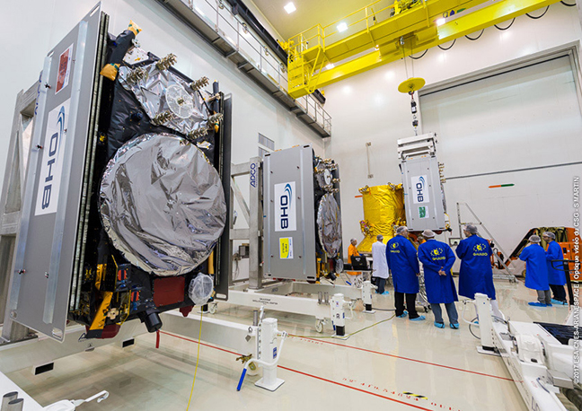
Completing the fourth delivery of 10 navigation payloads for Lockheed Martin’s GPS III satellites, Harris Corporation delivered the advanced navigation payload for the fourth GPS III Space Vehicle (SV04) to Lockheed Martin on October 29 – establishing a proven and reliable production cadence. Harris delivered two payloads in 2017 and is committed to delivering four more in 2018.
By Inside GNSS

