January 22, 2021
Consumer-Grade GNSS RF Front End Integrates Typically Discrete Components for Smaller Device Footprint
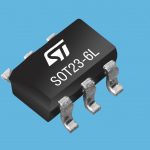
STMicroelectronics announced that its new BPF8089-01SC6 plug-and-play RF front-end for GNSS receivers simplifies design and saves real estate by integrating the impedance-matching and electrostatic-discharge (ESD) protection circuitry typically implemented using discrete components.
By Inside GNSS