December 2, 2014
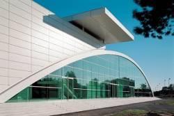
The Convention Centre Bordeaux
Intelligent Transportation Systems: 22nd ITS World Congress
The Convention Centre BordeauxThe 22nd World Congress and Exhibition on Intelligent Transport Systems and Services will be held at the Convention Centre Bordeaux and Exhibition Centre Bordeaux in Bordeaux, France on October 5 – 9, 2015. It will focus on how achieving intelligent mobility will change our lives, and the benefits space can bring to ITS applications.
The theme for this year’s event is “Towards Intelligent Mobility – Better Use of Space”, and will offer Plenary, Executive, Technical/Scientific, Special Interest and Interactive Sessions.
By Inside GNSS