GPS Archives - Page 9 of 138 - Inside GNSS - Global Navigation Satellite Systems Engineering, Policy, and Design

GPS

August 6, 2021

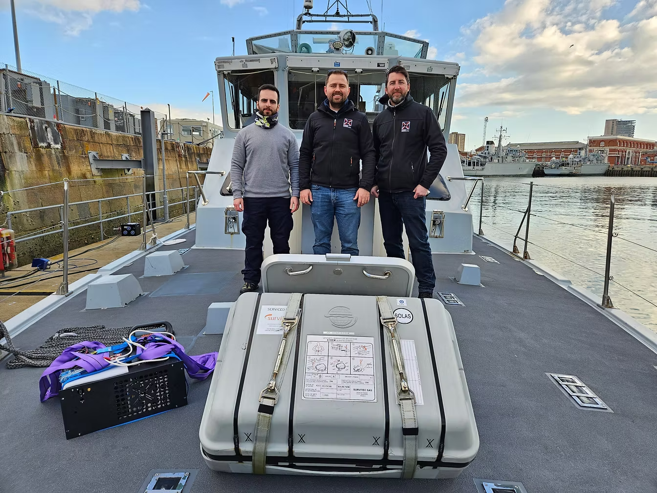
GNSS Backup eLoran Trialed Using Grandmaster Clock

UrsaNav and ADVA have conducted an enhanced long-range navigation (eLoran) field trial using UrsaNav’s eLoran receiver and ADVA’s Oscilloquartz grandmaster clock technology. The successful demo showed that eLoran offers a robust and reliable backup for GPS and other GNSS and could be used to provide an assured position, navigation, and timing (PNT) service.

Read More >

By Inside GNSS
August 5, 2021

Evaluation of Sensor-Agnostic All-Source Residual Monitoring for Navigation

The addition of alternative sensors such as cameras, magnetometers, and small ranging radios increases the likelihood of a mismodeled and/or faulty sensor, affecting the accuracy and performance of the overall navigation solution. Unlike two-sensor systems such as GPS-inertial integration, systems of three or more sensors present the problem of ambiguity as to which sensor is adversely affecting the solution. This presents the need for a robust framework that can maintain navigation integrity despite the additional sensor modalities.

Read More >

By Inside GNSS
[uam_ad id="183541"]

Washington View – PNT: Nothing to See?

A Department of Homeland (DHS)-chartered May 2021 report concludes that PNT threat and resilience concerns are not as dire as some have made them out to be, and that funds for backup could be spent elsewhere. Why this runs counter to other recent government reports is not clear, nor is the fallout from this divergence of Congressionally mandated views. The Department of Transportation has distanced itself a bit from this report by the RAND Corporation—and even its issuer, the DHS, seems to have done so.

Read More >

By Dawn M.K. Zoldi (Colonel, USAF, Ret.)
[uam_ad id="183541"]
June 30, 2021

NASA Extends Cyclone Global Navigation Satellite System Mission

NASA has awarded a contract to the University of Michigan for the Cyclone Global Navigation Satellite System (CYGNSS) for mission operations and closeout. A constellation of eight microsatellites, the system can view storms more frequently and in a way traditional satellites are unable to, increasing scientists’ ability to understand and predict hurricanes. The total value of the contract is approximately $39 million. The CYGNSS Science Operations Center is located at the University of Michigan.

Read More >

By Inside GNSS
1 7 8 9 10 11 138
IGM_e-news_subscribe